
What the satellite images keep in frame — the car park, the power plant, the one road in — and where to stand instead.
A travel photograph is a series of decisions about what to leave out: the coach park behind the waterfall, the queue at the viewpoint, the industrial plant next door. Satellite imagery makes none of those decisions. It takes everything inside the rectangle, with nobody standing there minding what shows — which is why the view from directly overhead is the most beautiful picture of some places and the most honest picture of all of them. We took ten of the places people actually go looking for on Google Earth, put the overhead frame beside photographs made on the ground, and looked at what changes. Mostly the places win. One of them doesn’t.
Grand Prismatic Spring, Wyoming
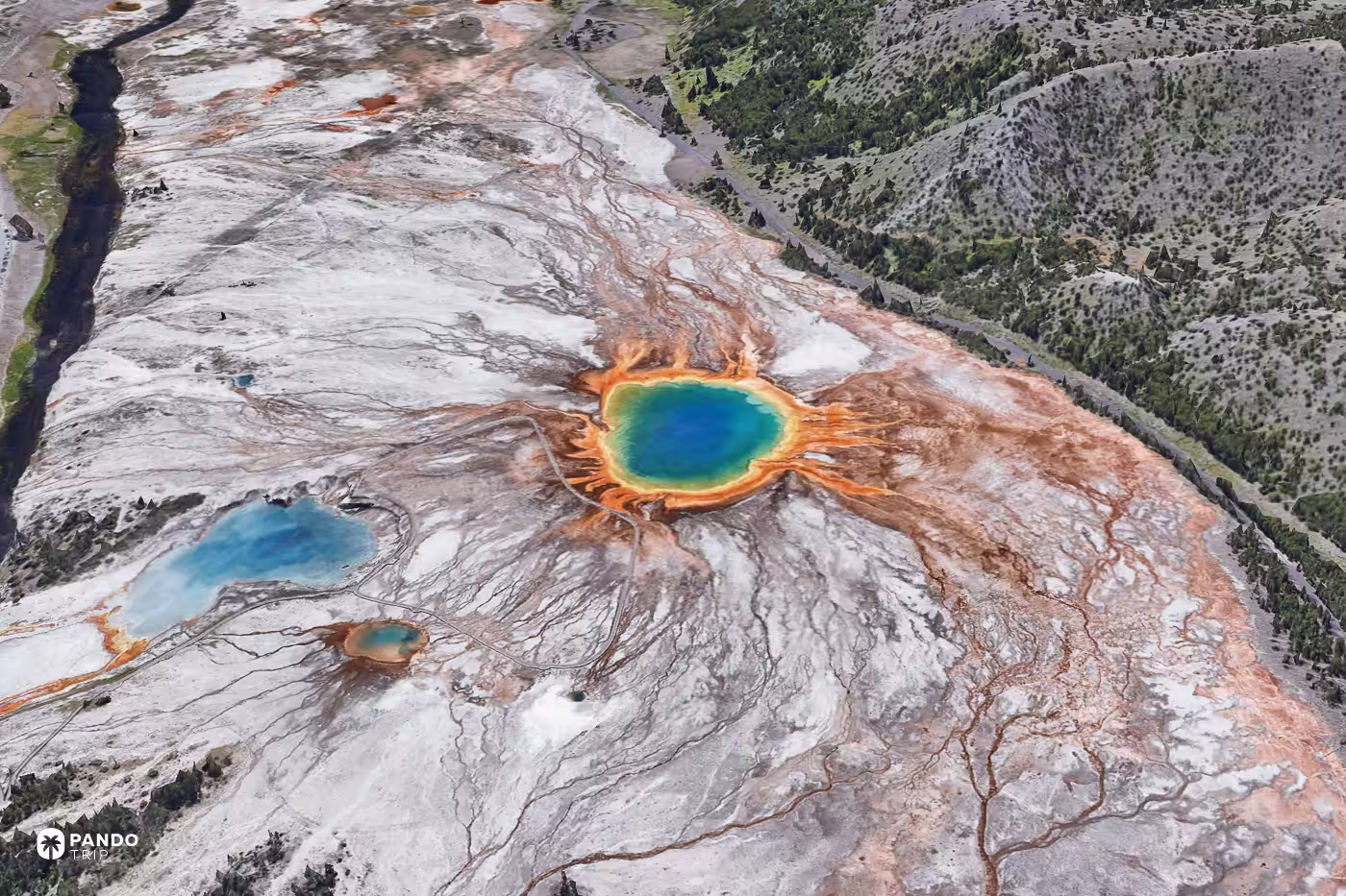
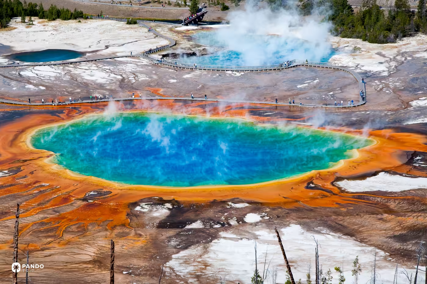
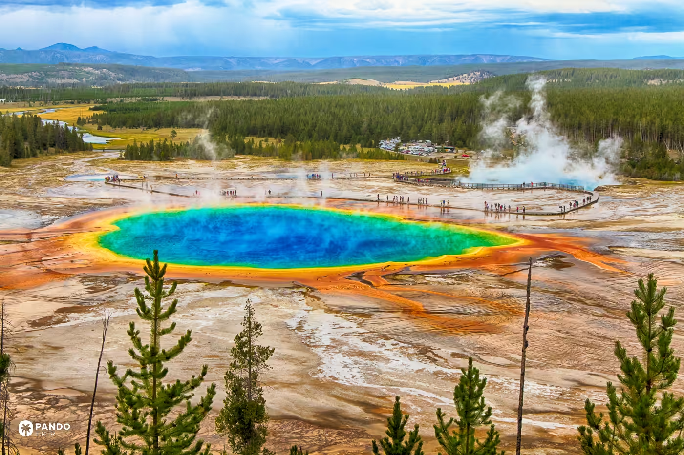
Stand on the Midway boardwalk on a cool morning and you are beside the largest hot spring in Yellowstone, seeing almost none of it. Guides converge on midday as the hour the steam lifts, and from boardwalk level the famous rings flatten into a single hot foreground anyway. The disc is only a disc from above: orange bacterial runoff fanning off toward the Firehole River, the Grand Loop Road and the Midway car park a few hundred metres off the rim.
The park’s answer to this is a footpath. The Grand Prismatic Overlook Trail climbs 105 feet over 0.6 miles from the Fairy Falls trailhead, and the park built it after a lodgepole pine came down in high wind on the unofficial path people had worn up that hillside in 2014, and killed a man. The sanctioned version opened in 2017. The angle everyone shoots from is nine years old.
Fly there: 44.5252, -110.8383
Burano, Italy
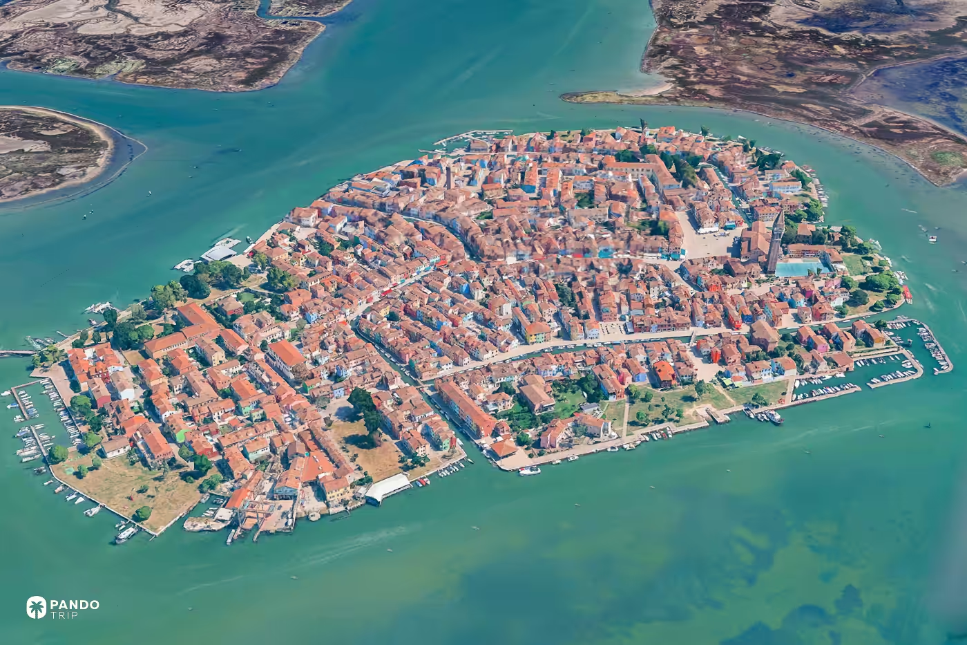
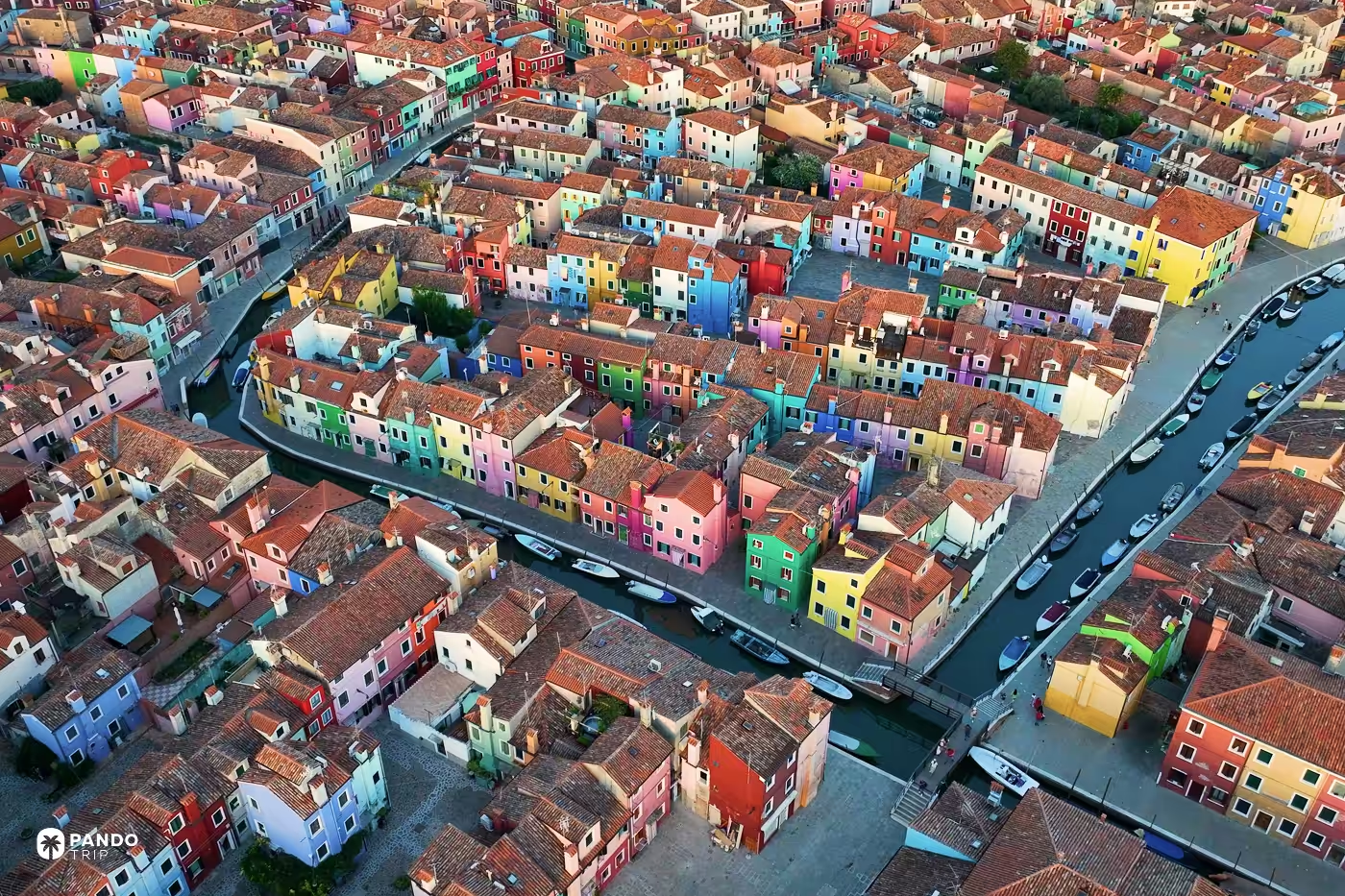
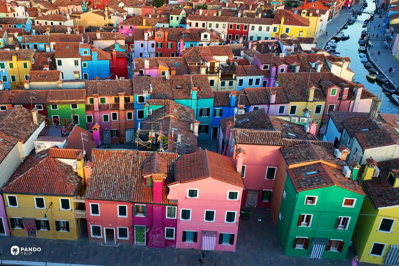
Directly overhead, Burano is the colour of roof tile. Nobody there is allowed to roof in anything else — the comune’s building norms for these islands require pitched roofs laid in terracotta channel tiles, historic coppi salvaged and relaid wherever they survive. So the painted facades we spent a whole article on live entirely on the walls, and not one of them survives the climb to a plan view. There is no public high point on the island either. The Line 9 shuttle runs five minutes on to Torcello, where €5 buys the bell tower and a view back across the northern lagoon.
Fly there: 45.4863, 12.4173
Guishan Island, Taiwan
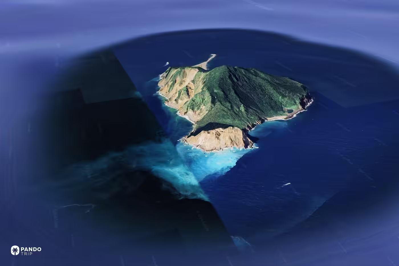
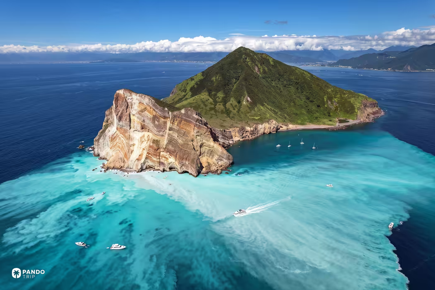
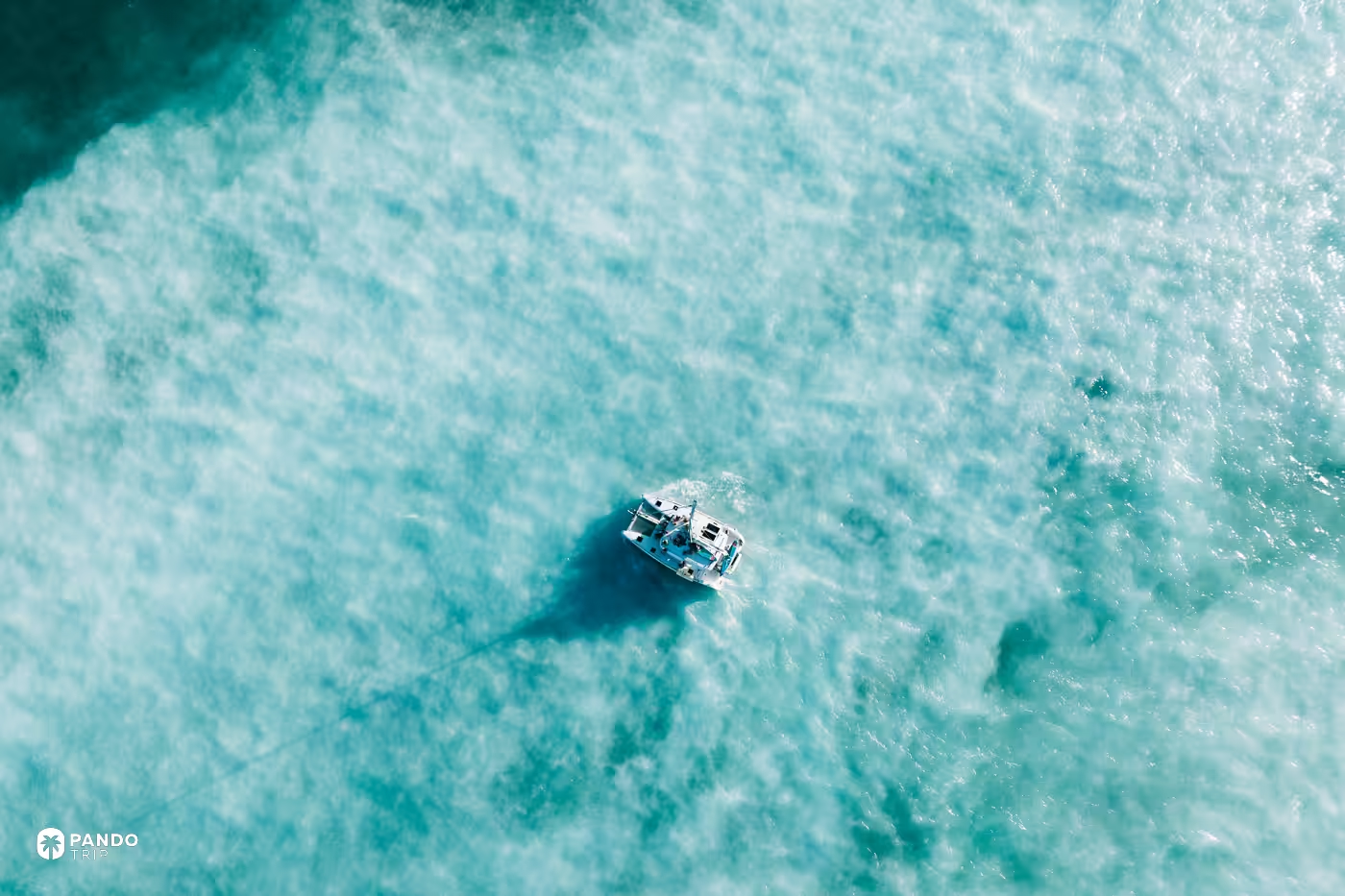
The island is named for a turtle, and from the island itself you cannot see one. Head, shell and gravel tail resolve as a shape only from the water or the air. The boats out of Wushi Port loop the whole island as well as landing on it. The plume off the turtle’s head is sulphur, venting from the seabed. It is the colour that got the island into our Taiwan list: from above, a pale stain laid across the blue with an edge you could rule a line along; from a boat, a smell.
Fly there: 24.8419, 121.9519
Blue Lagoon, Iceland
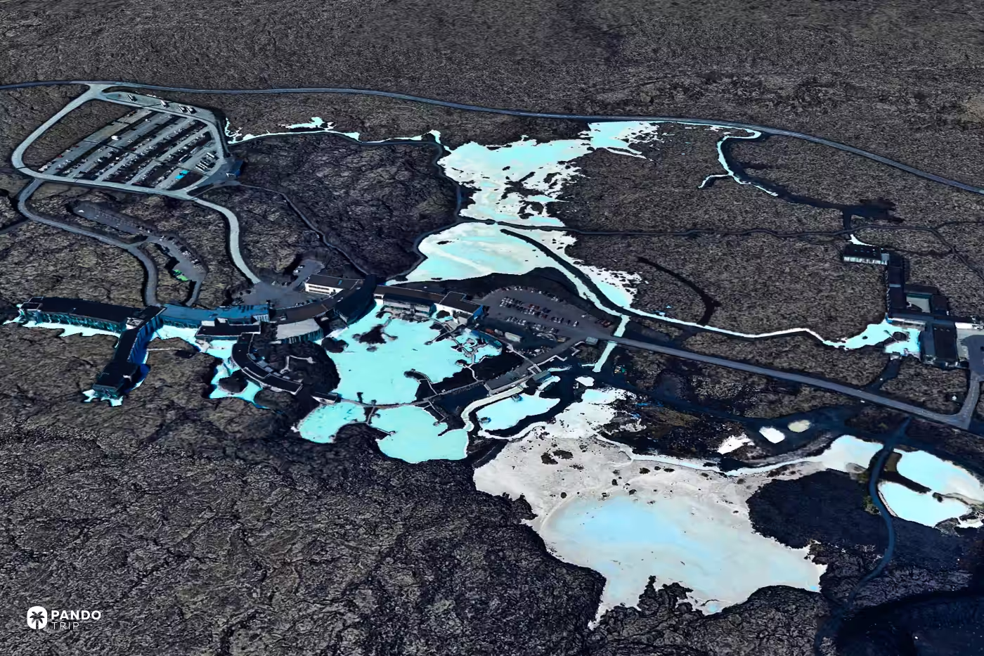
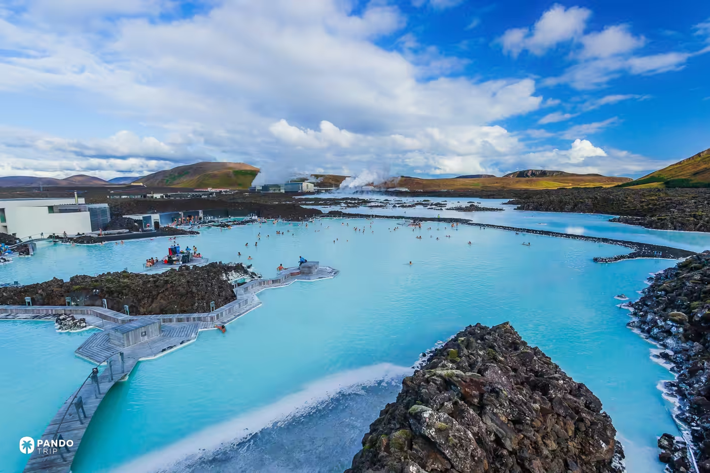
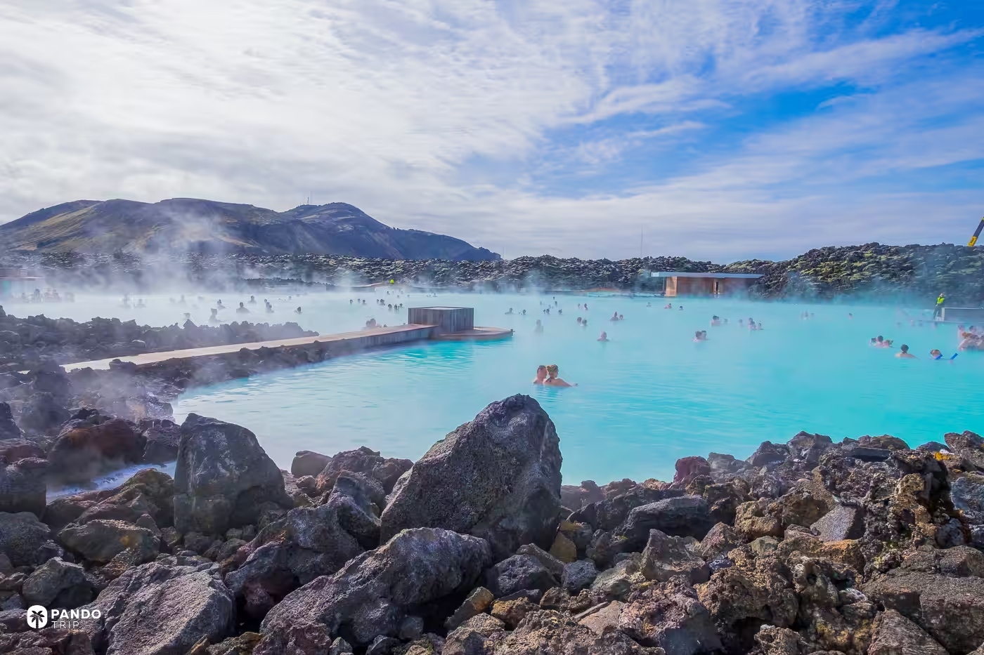
Almost every published photograph of this place is cropped to the same three things: milk-blue water, black lava, steam. Pull the camera up and a fourth arrives, standing directly alongside the pool with its wellheads and its pipe runs — the Svartsengi geothermal plant, which is the reason there is a pool at all. Svartsengi began discharging spent water onto the lava field in 1976, and the silica in it sealed the porous rock instead of draining through it. The leak became a pond, the pond became a spa, and the plant has been in the frame ever since. None of which makes the water any less good to sit in. It does make “natural hot spring” a hard phrase to keep saying. Book weeks ahead, because there are no walk-ins — the cheaper Icelandic alternatives are here — and if you want the overhead for yourself, the volcanic-craters helicopter run out of Reykjavík flies the field with the plant included.
Fly there: 63.8798, -22.4487
Uluru, Australia
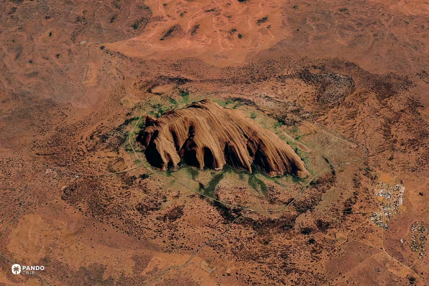
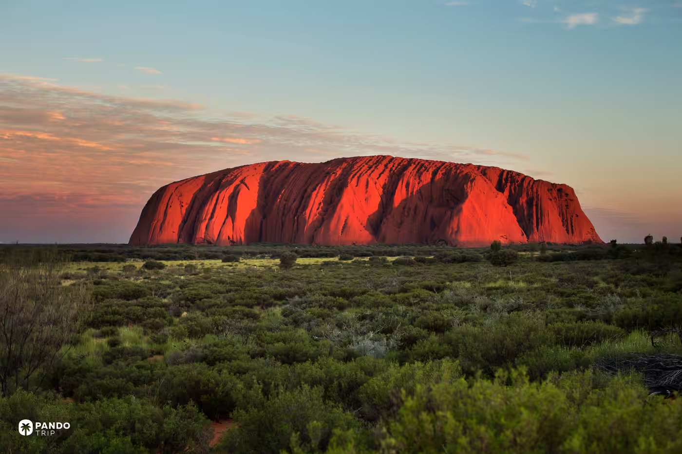
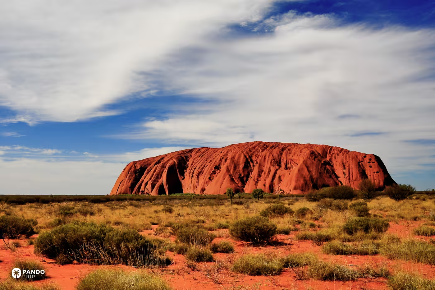
You are not allowed to take this picture. Drones are banned across the park under federal environment law, and no helicopter operator will fly over the rock or complete a circuit of it, so a visitor cannot lawfully make an overhead image of Uluru. Even Google has stepped back: in September 2020 it removed visitors’ summit photographs from Maps at Parks Australia’s request, in line with the wishes of the Aṉangu, the rock’s traditional owners, eleven months after the climb closed for good.
The only overhead you get: -25.3450, 131.0361
Perito Moreno Glacier, Argentina
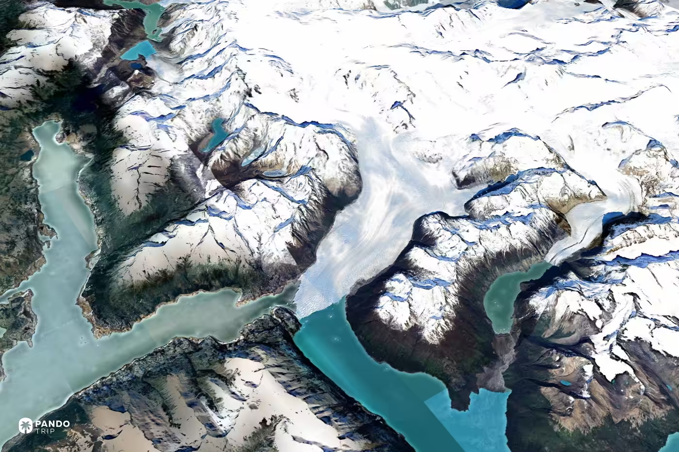
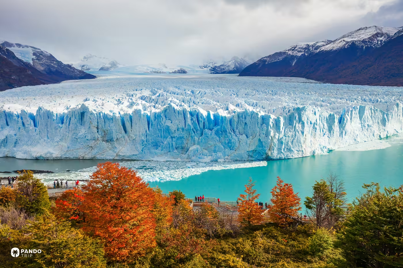
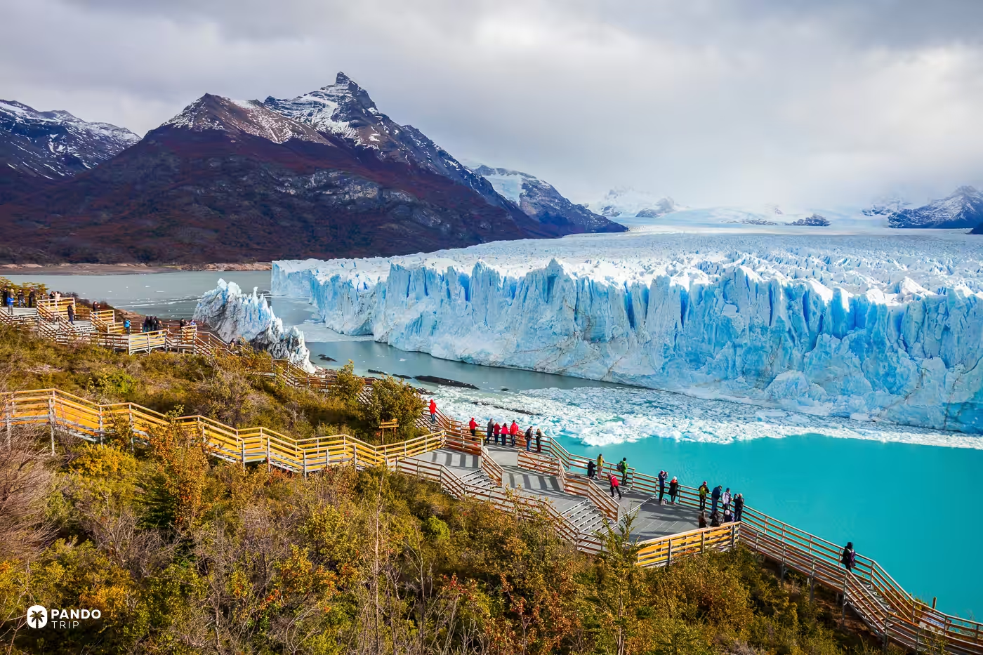
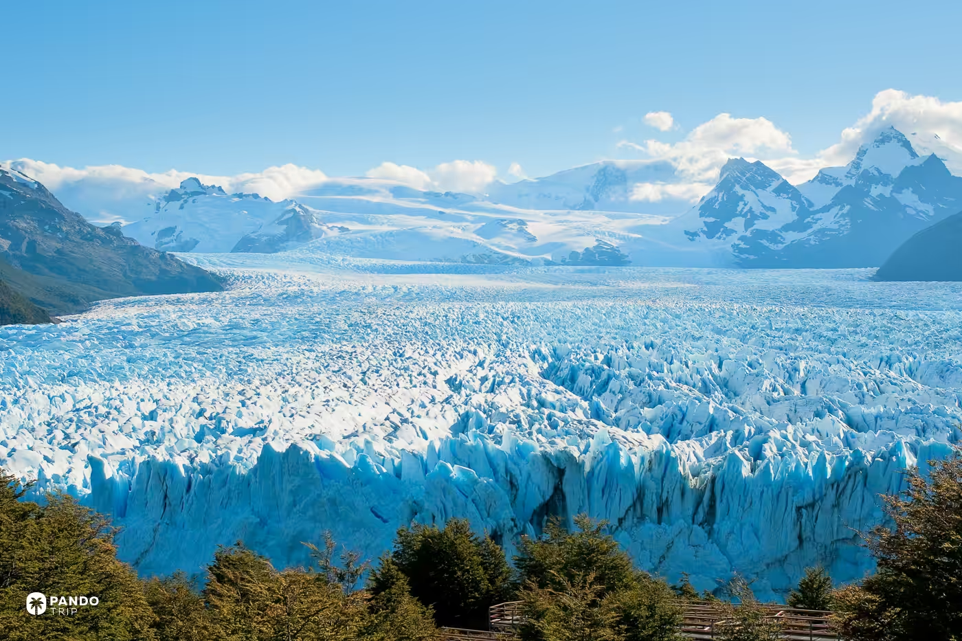
One lake in two colours. A five-kilometre front of ice crosses Lago Argentino and touches the far shore, sealing the southern arm off from the rest of it; circulation stops, glacial flour settles thicker in the trapped water, and the ice line becomes a colour line — turquoise on one side, murky green on the other. The dam is dormant for now, with the last break-up at the end of 2019 and nothing since. From the walkways you get a sixty-metre wall and, most days, something falling off it. The boat from Puerto Bajo de las Sombras runs the dammed side and stops about 400 metres off the ice.
Fly there: -50.4732, -73.0481
Ilhéu de Vila Franca do Campo, Azores
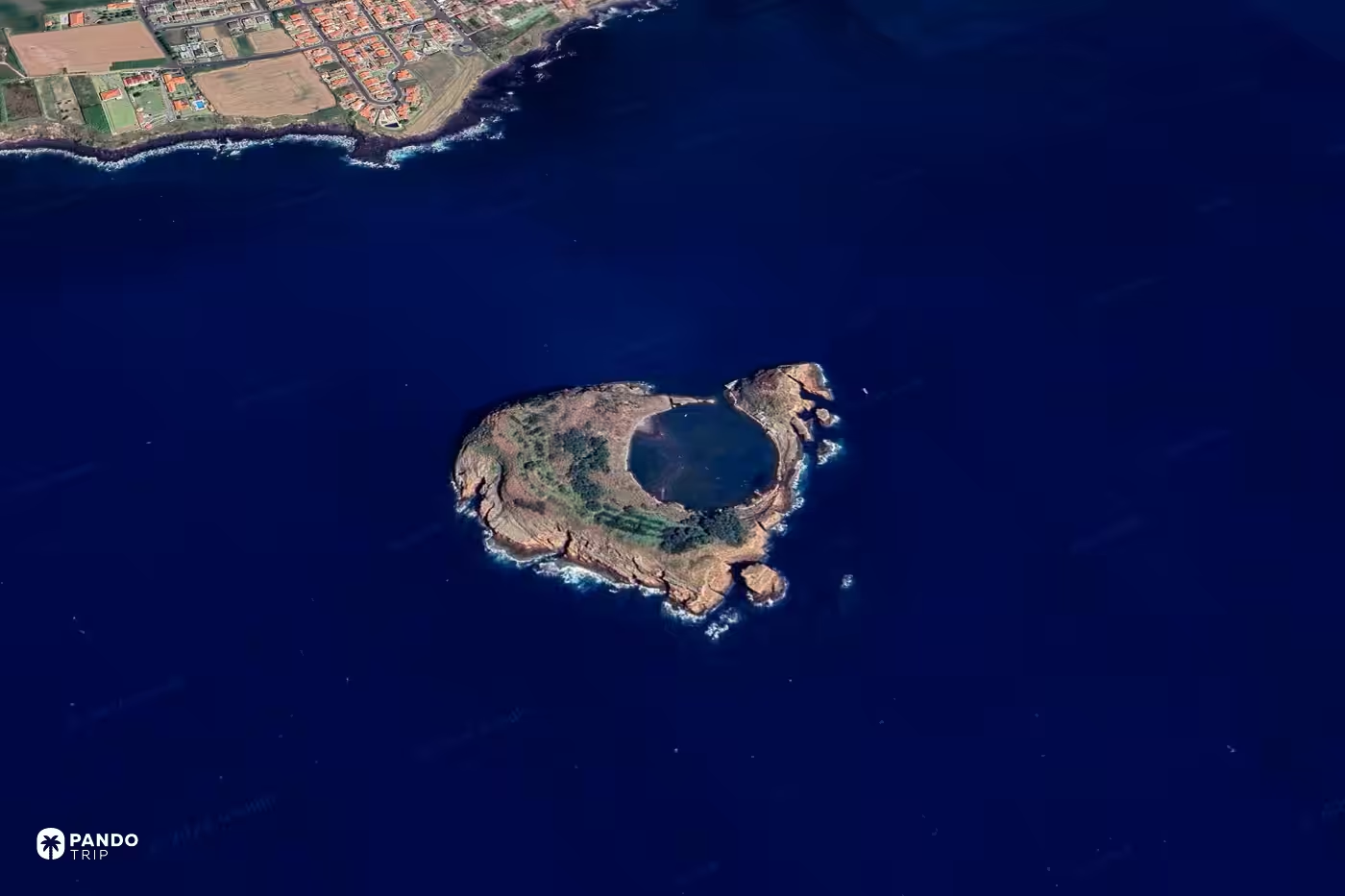
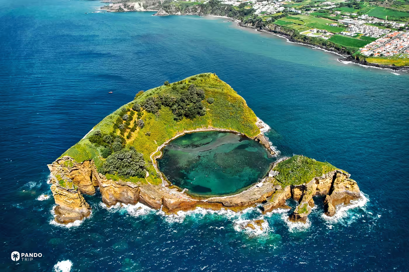
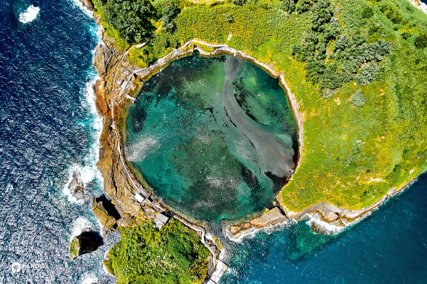
Swimming here was banned for the whole of 2025, and resumed only in June 2026. Five consecutive years rated “poor” for water quality force a season’s closure under European bathing law, and when the regional director listed the reasons he named the gull colony, the islet’s own sanitation, and the untreated wastewater the town still pipes out through a submarine outfall. The outfall and the ring sit in one satellite frame: a flooded crater 500 metres offshore, open to the Atlantic through a single narrow channel that happens to face the coast, which keeps the water inside flat when the water outside is not. The circle closes again from the tiled stairway up to the Nossa Senhora da Paz chapel above the town.
Fly there: 37.7057, -25.4434
Barringer Crater, Arizona
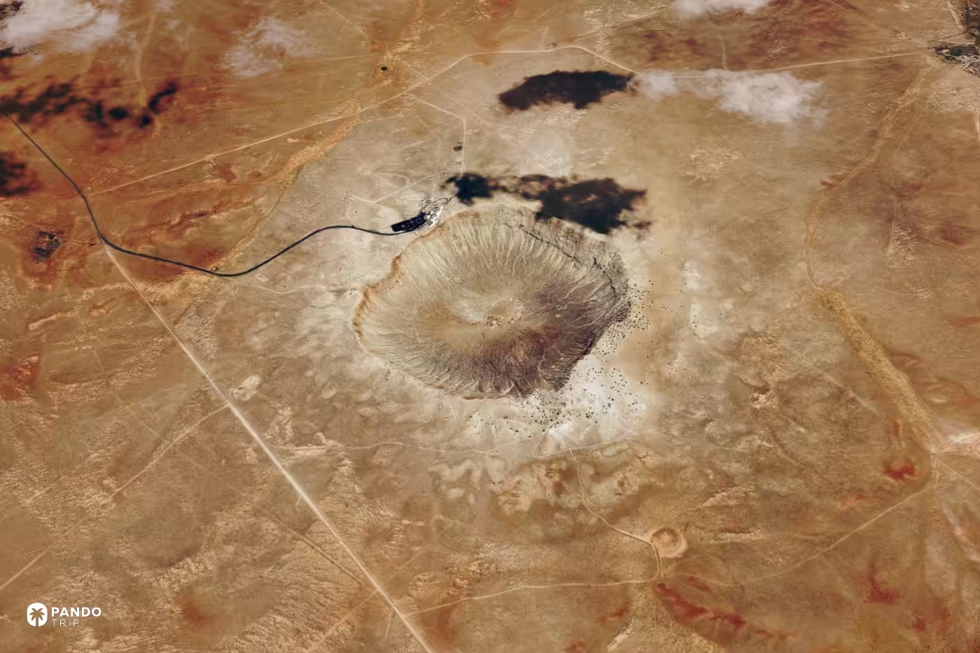
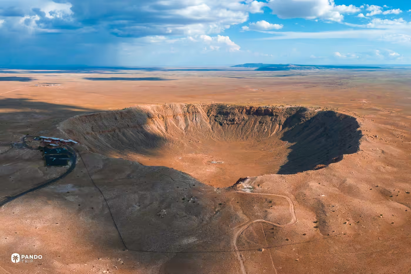
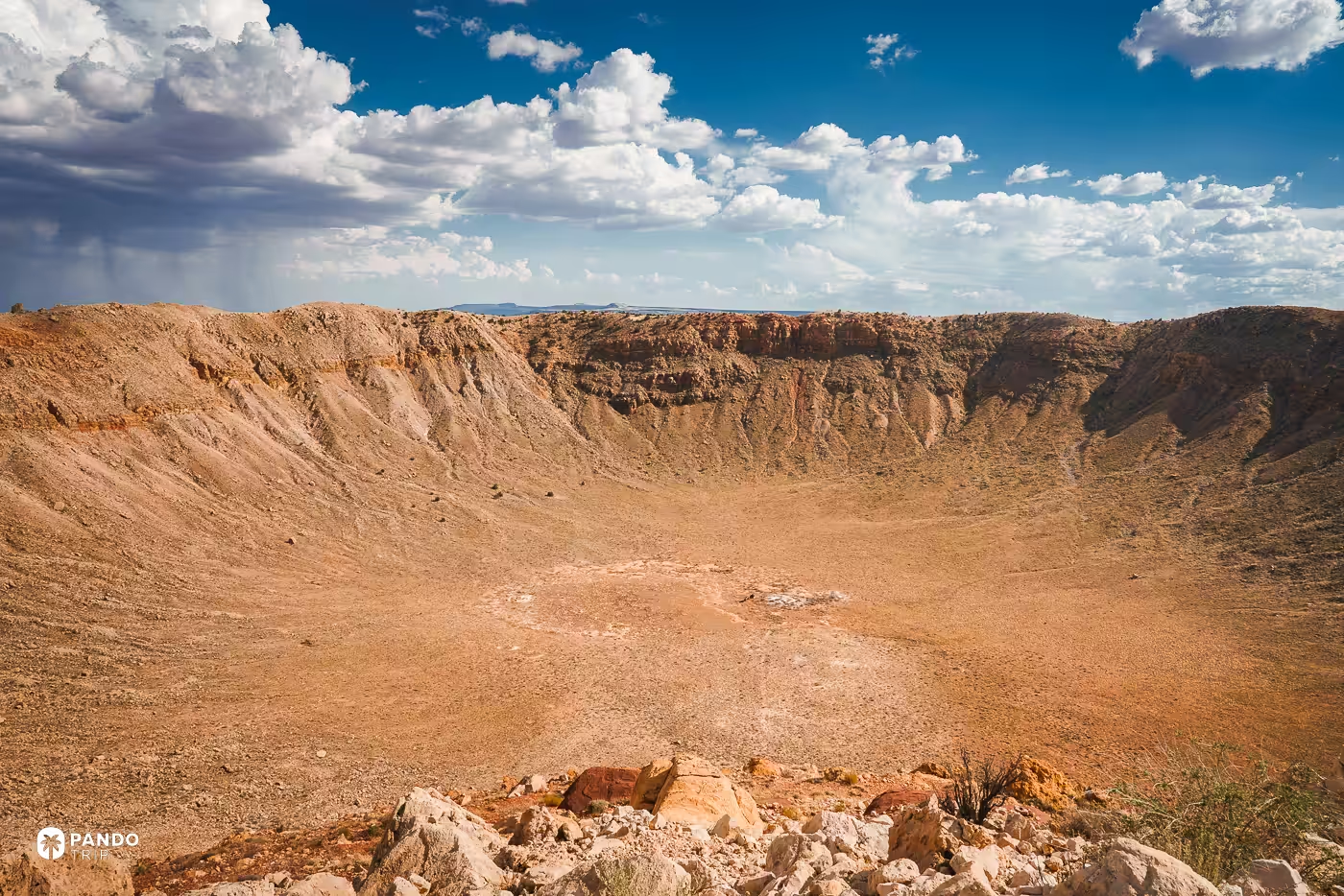
It has corners. From the rim it reads as a bowl, 1,186 metres across and 170 deep; from directly above it is a rounded square, because the excavation ran faster along joints already present in the sedimentary rock and the hole came out with four of them. Eugene Shoemaker worked that out in 1960. The floor still carries the shafts Daniel Barringer sank over twenty-seven years, hunting an iron mass that had mostly vaporised on impact.
Fly there: 35.0281, -111.0232
Palm Jumeirah, Dubai
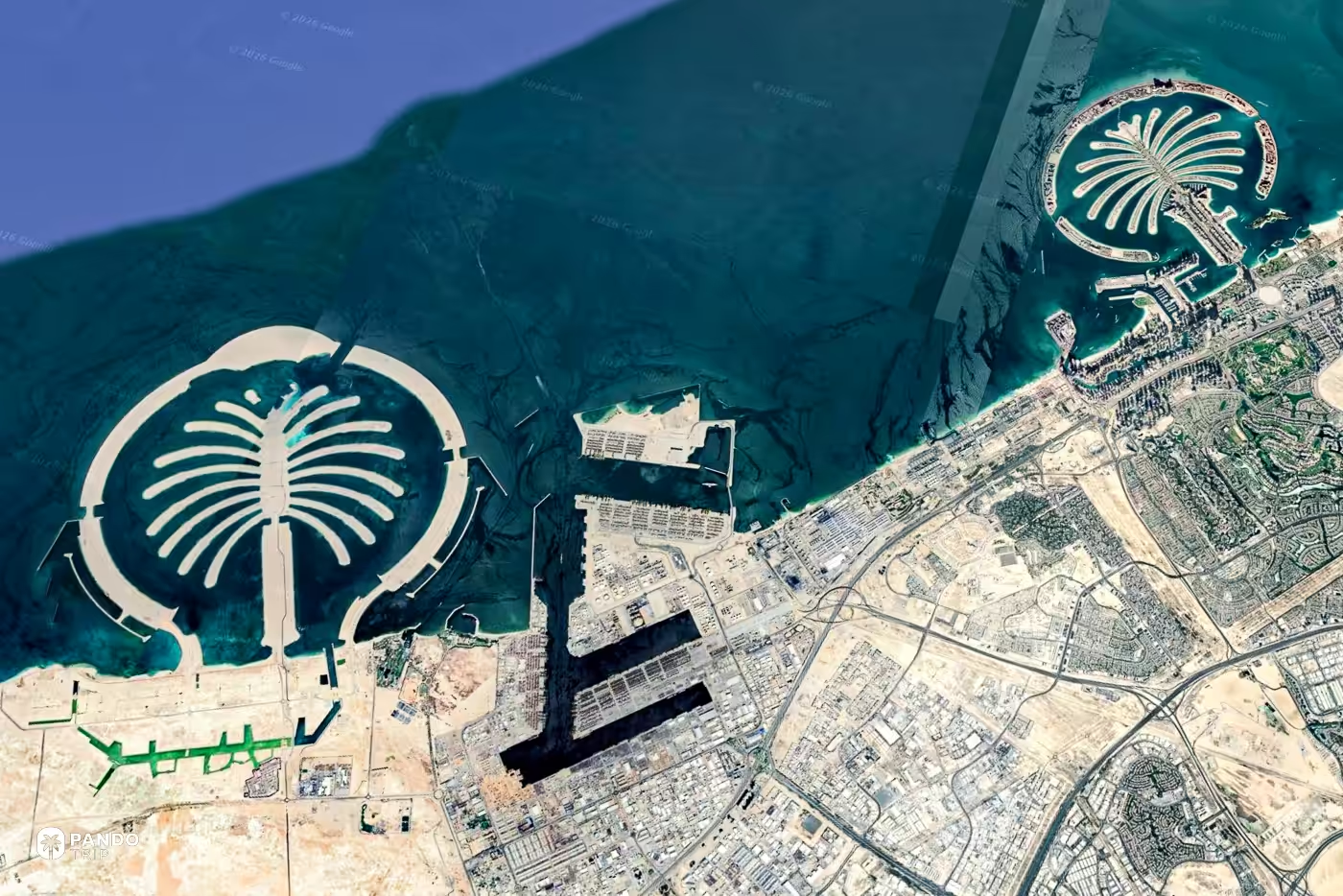
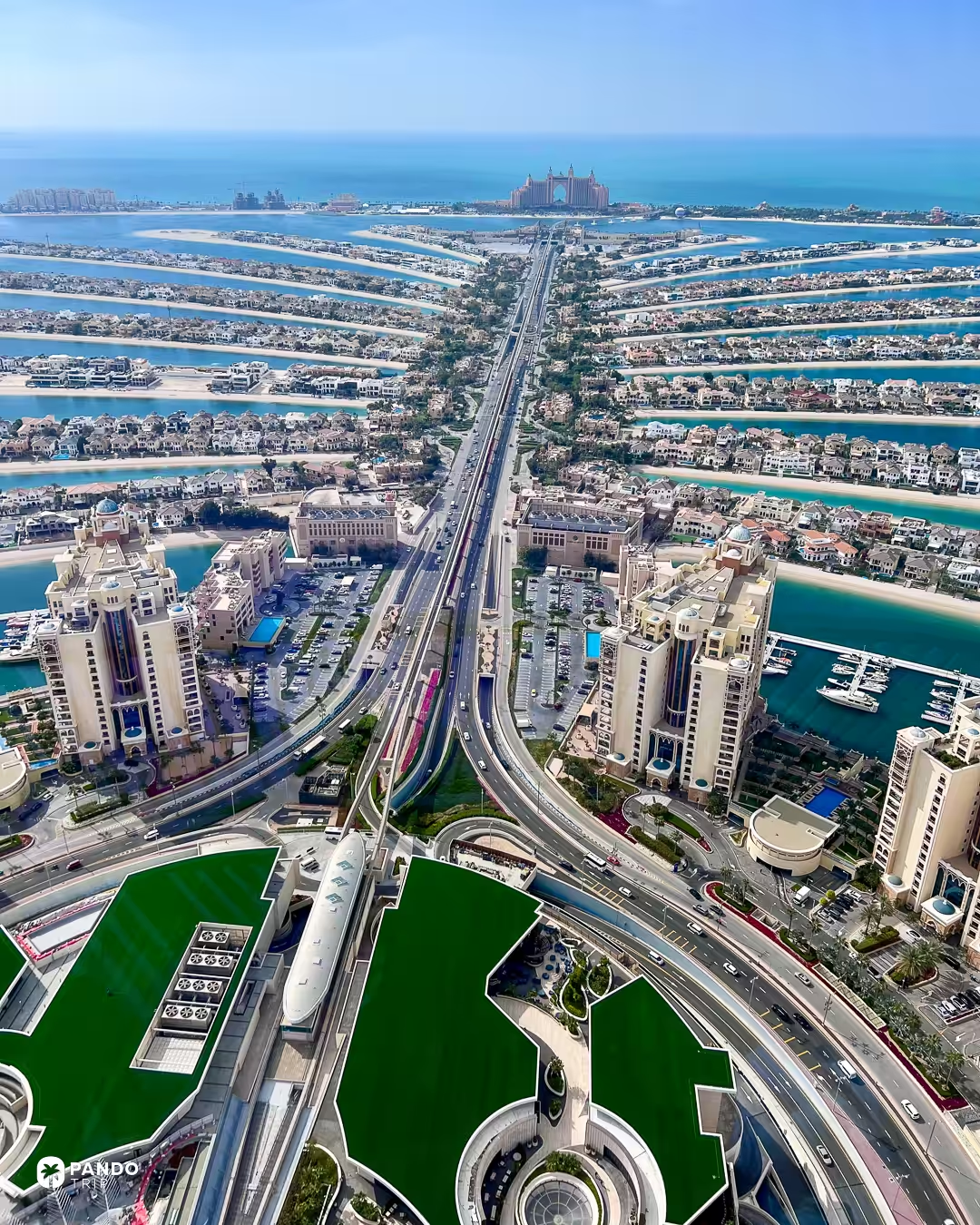
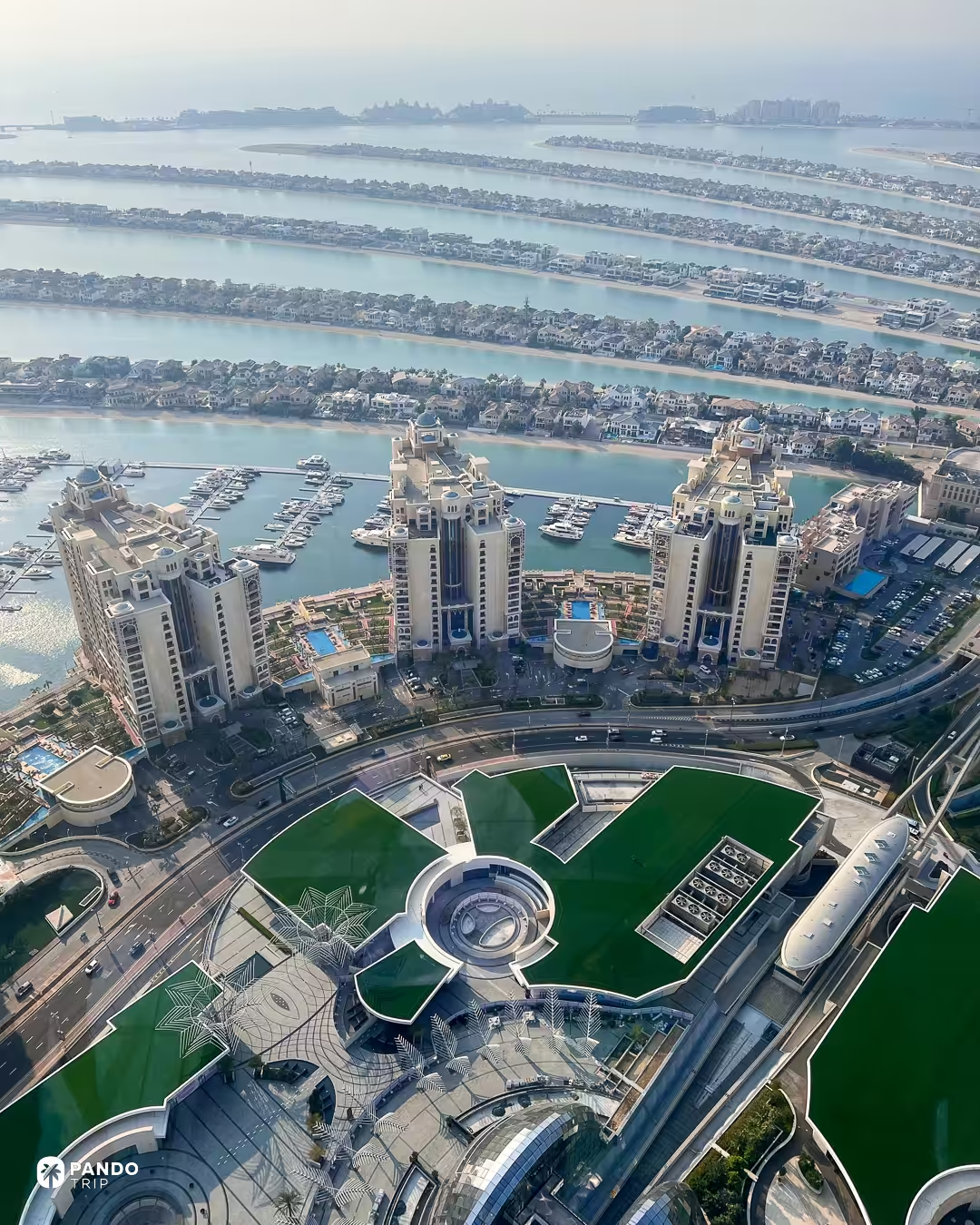
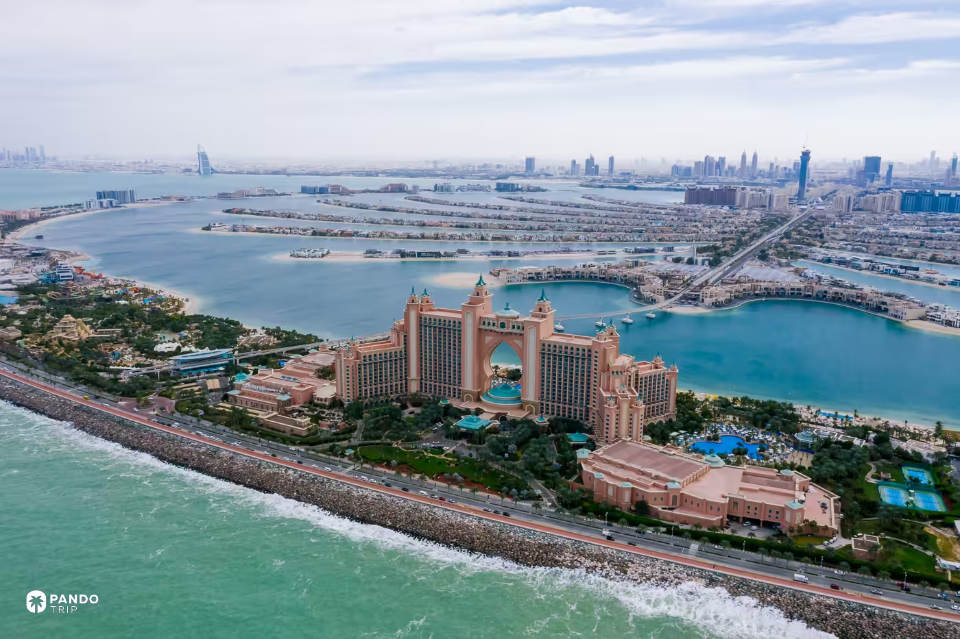
This is the one that does not survive the descent. From orbit the Palm is one of the most legible objects in the Gulf: a trunk, seventeen fronds, a crescent eleven kilometres long wrapped around them. At street level it is a six-lane spine with towers either side, and every frond hanging off it is a gated cul-de-sac ending in a private beach — no visitor gets into the part of the island the photograph is famous for.
Everything on the island moves along that spine, and Dubai’s own roads authority signed a six-billion-dirham deal in 2025 to unblock it, aiming to cut travel time on the island by forty per cent. The shape comes back in exactly one place: The View, fifty-second floor of the Palm Tower, 240 metres up, from about 100 dirhams.
Fly there: 25.1181, 55.1333
Fiordland, New Zealand
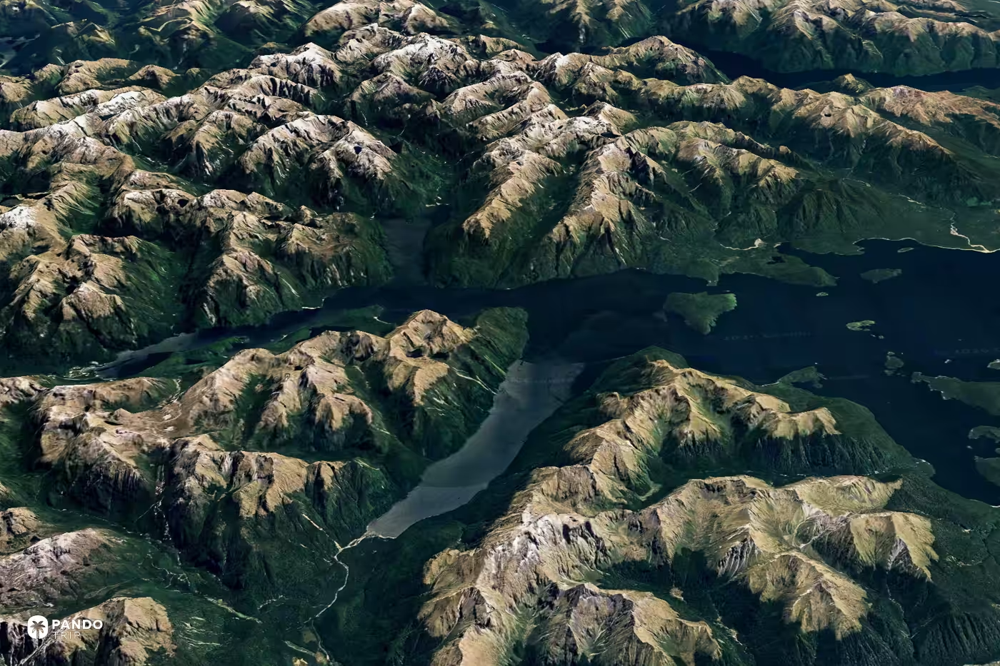
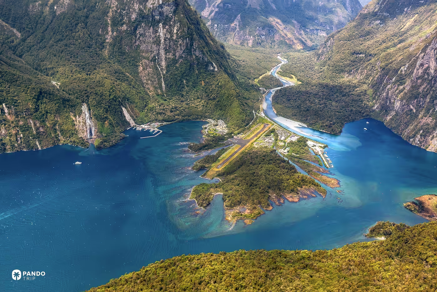
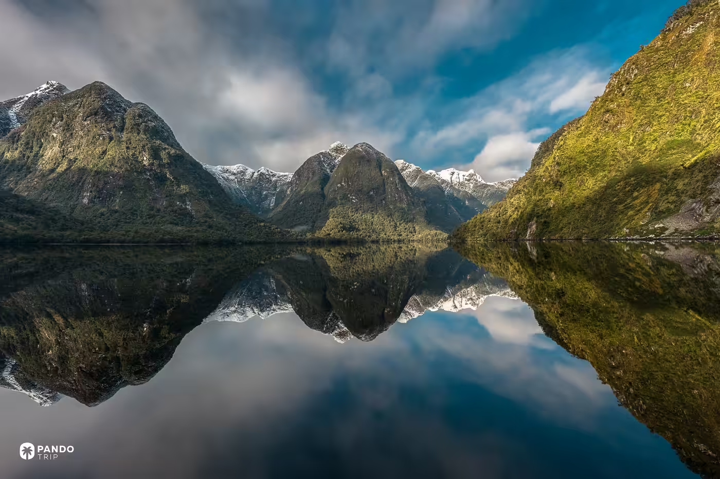
Every photograph made at Milford Sound points down the fiord. Turn around and you see why: crammed onto the head of the water sit a visitor terminal, car parks, staff housing, a boat basin and a sealed airstrip, which the fiord’s own masterplan noted takes up a third of the space while serving five per cent of the visitors. The government considered closing the airstrip in 2025 and decided not to. One road arrives, State Highway 94, and it dead-ends there after a kilometre of single-lane tunnel. We have ranked the world’s fjords before. The fiord with nothing at its head is Doubtful Sound, three transfers and the better part of a day away, and that is the one to give the day to.
Fly there: -44.6481, 167.9056
How to fly there, and what you are actually looking at
Type the coordinates straight into the search box — decimal degrees, latitude first, as `44.5252, -110.8383`. Degrees, minutes and seconds work too. The one thing that breaks it is using commas as decimal separators.
What you land on is not now. Google says plainly that its imagery is not real time, and that most of what you are looking at is one to three years old. It is also not one photograph: the globe is a mosaic stitched from passes made on different days and in different months, which is why the capture date can change as you move the cursor across a single view. That mosaic is where the seams come from. Google’s own documentation notes that tile joins show most in thinly populated places, and the Guishan Island frame is a good example — a straight-edged patch across open water, where two scenes shot on different days at different sun angles meet.
The better trick is the time slider. Historical imagery now runs back around eighty years, and the Aral Sea is what it was built for: 68,000 square kilometres of water in 1960, 88 per cent of that surface and 92 per cent of the volume gone by 2010, the eastern lobe drying out completely in the summer of 2014 for what is thought to be the first time in six hundred years.
One thing you will not find, whatever anyone tells you: the Great Wall of China. Neil Armstrong said it was definitely not visible from the Moon. Yang Liwei, China’s first astronaut, looked in 2003 and said the same. The wall is nine metres wide at its widest and built out of the ground it stands on. The Palm is five kilometres across and white against dark water — and that, not size, is the whole difference.