
Thirteen islands from Greenland to Brazil, and why we would not send you to the swimming pigs.
Madeira and Bermuda lie at almost the same latitude on opposite flanks of this ocean. Funchal is very slightly the more northerly of the two, and in August its sea is about four and a half degrees colder. That gap is the Atlantic’s whole personality: this ocean runs from pack ice to the equator, its two flanks behave nothing alike, and the word Atlantic therefore tells you almost nothing about what you will be swimming in. What follows is arranged by latitude, top to bottom — beginning in a fjord where the ice is parked several years deep, ending at a Brazilian archipelago that charges you by the day for being there.
Where the Atlantic actually stops
The list of Atlantic islands is shorter than most people assume, and the Caribbean is where it gets interesting. The Caribbean Sea is its own sea inside this ocean, and its eastern boundary was drawn along the 100-fathom contour so that the entire Antillean chain and its shallow shelf fall inside it. Barbados lies 160 kilometres further east than that, in open Atlantic water; so do the Bahamas and the Turks and Caicos, whose official tourism site publishes the correction against its own more marketable label. Go the other way and the ocean stops at Cape Trafalgar, which puts Sicily, Mallorca and Crete in a different sea altogether. All of it rests on a hydrographic pamphlet from 1953 that nobody has managed to revise since. And the largest island in this article defeats the exercise completely: Greenland does not lie inside the line or outside it. The line runs across Greenland.
Greenland
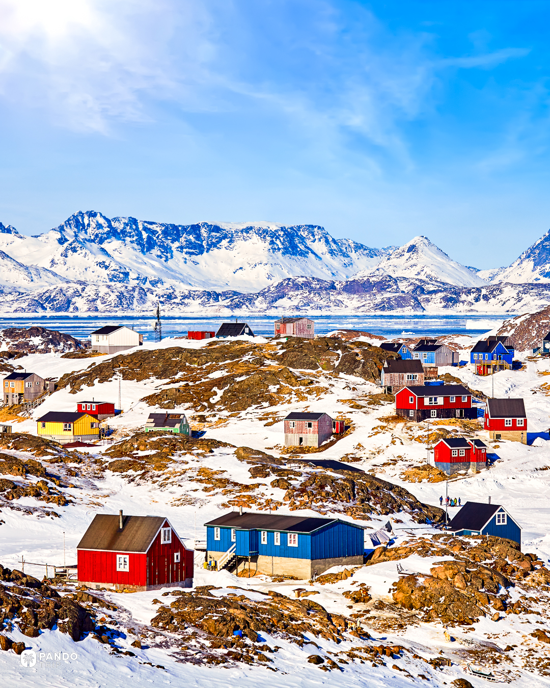
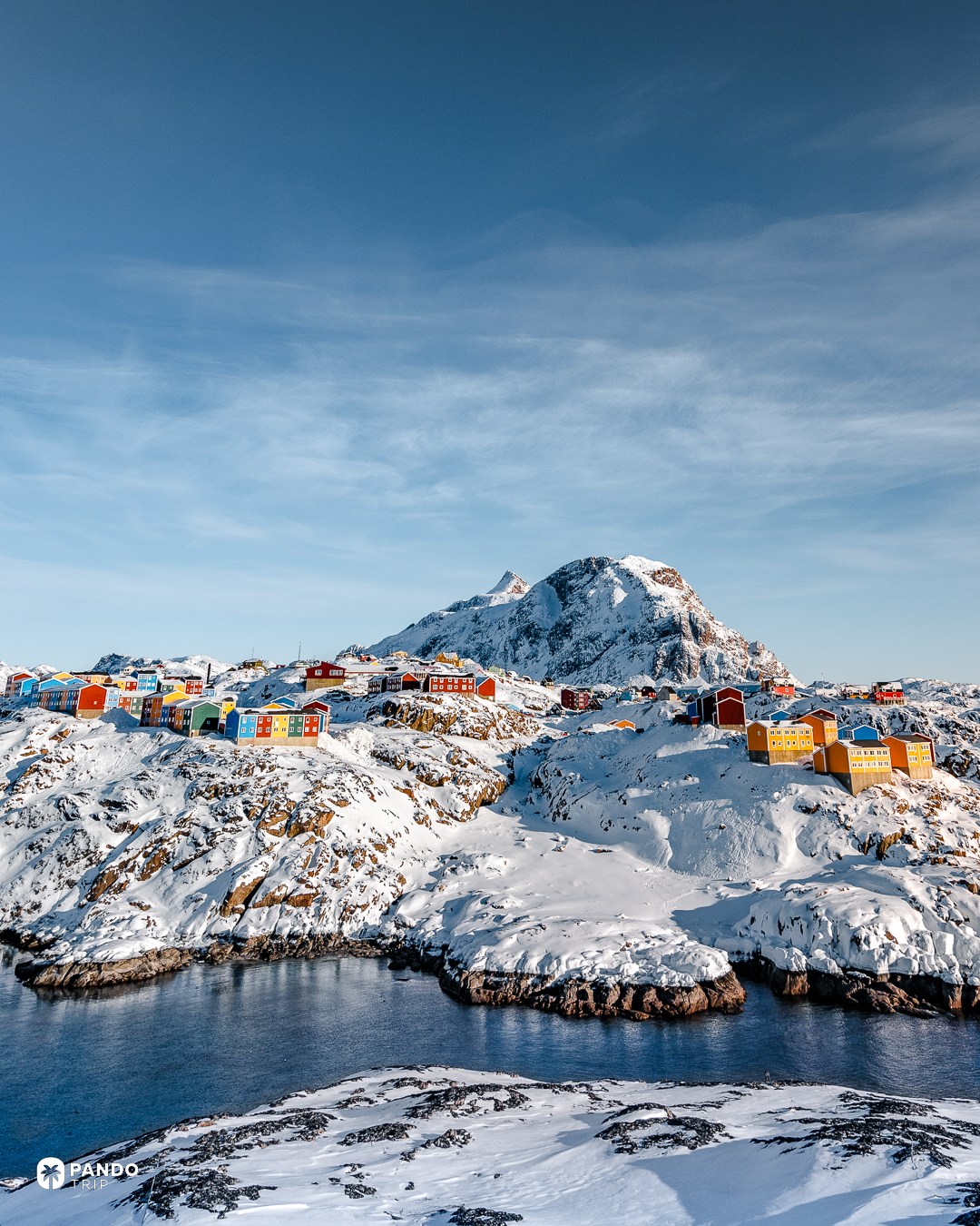
Ilulissat means icebergs, which is the least imaginative name in the Arctic and the most accurate. Sermeq Kujalleq, the glacier at the head of the fjord, is the fastest-moving in Greenland: about forty metres a day at its fastest, roughly double its speed before 2002. It sheds about a tenth of all the ice that calves off the island into a trench a kilometre deep. Then the ice gets stuck. An old moraine lies across the fjord mouth like a drowned wall, and any berg drawing more than two or three hundred metres grounds on it and stays, sometimes for years, until it has melted or broken up small enough to clear the sill. What the town looks out on is a jam, several years deep, and none of the other fjords we have written up are stacked like it. Boats work it from June to August.
Iceland
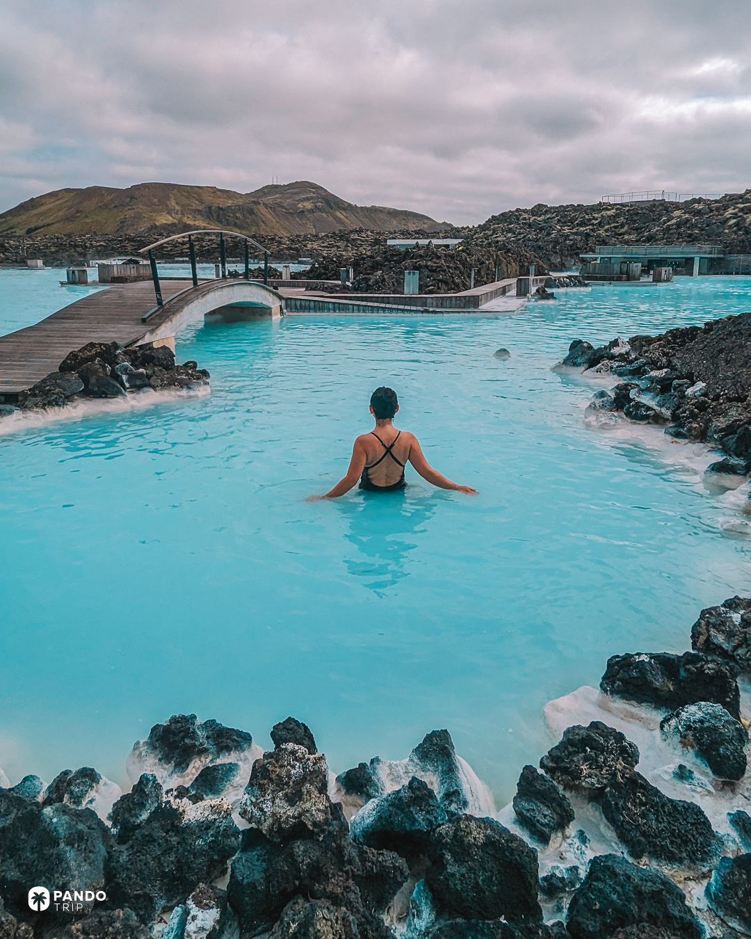
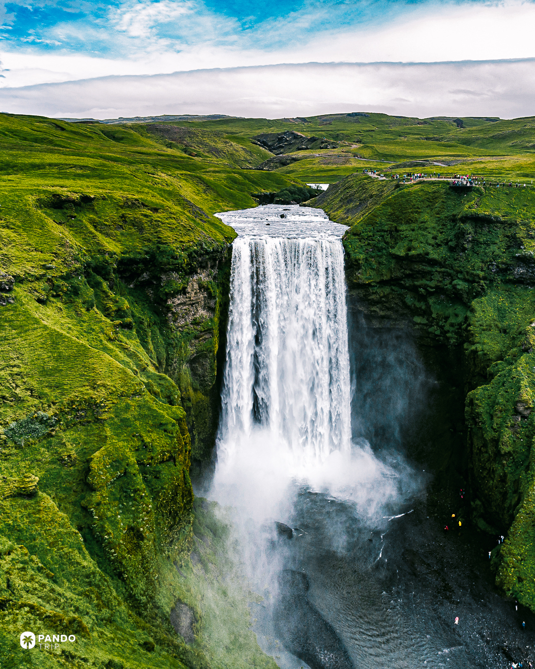
The Icelandic Met Office publishes how full the magma chamber is. Some 28 million cubic metres have collected under Svartsengi since the middle of 2025, on a trend the office calls stable, ahead of what it still expects to be another dike intrusion and possibly another eruption, and anyone can look the number up before booking a room on top of it. Nine eruptions have already come up along the Sundhnúkur crater row since December 2023, the last of them ending on 5 August 2025 after twenty-one days. No other island here sells a spa weekend with a geological forecast attached. If the lagoon is shut when you land, there are cheaper pools not built on a rift.
The Faroe Islands
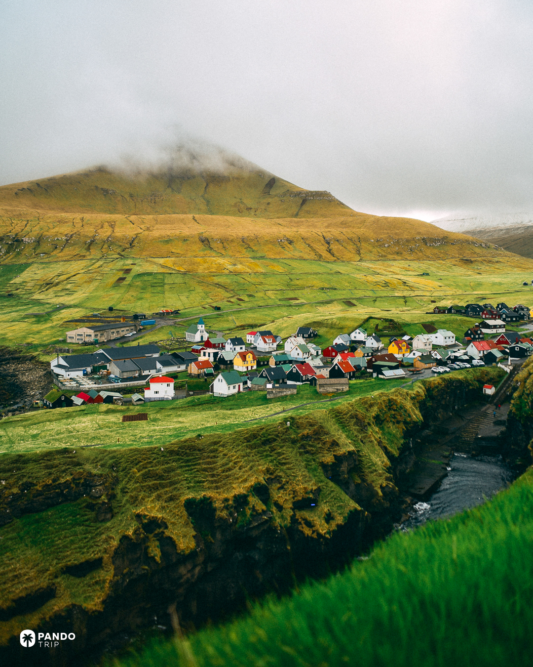
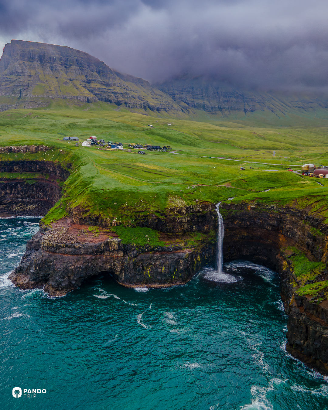
Fifty-six thousand people are spread across eighteen islands here, and at some point they stopped negotiating with the weather about whether they could get to work. The answer was to go underneath it. The Eysturoy tunnel opened in December 2020, is 11.2 kilometres long, passes beneath the seabed, and contains the only undersea roundabout in the world: a lit ring cut into the rock under the Atlantic, with Tróndur Patursson’s steel figures turning around the column at its centre. Late May to August is when the ferries to the outer islands are working and the light lasts long enough to use them.
Isle of Harris
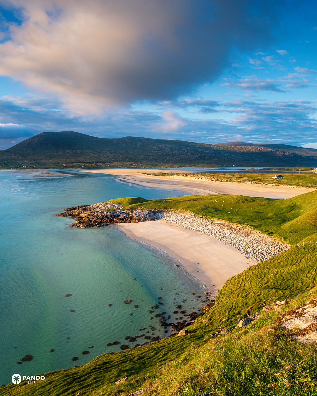
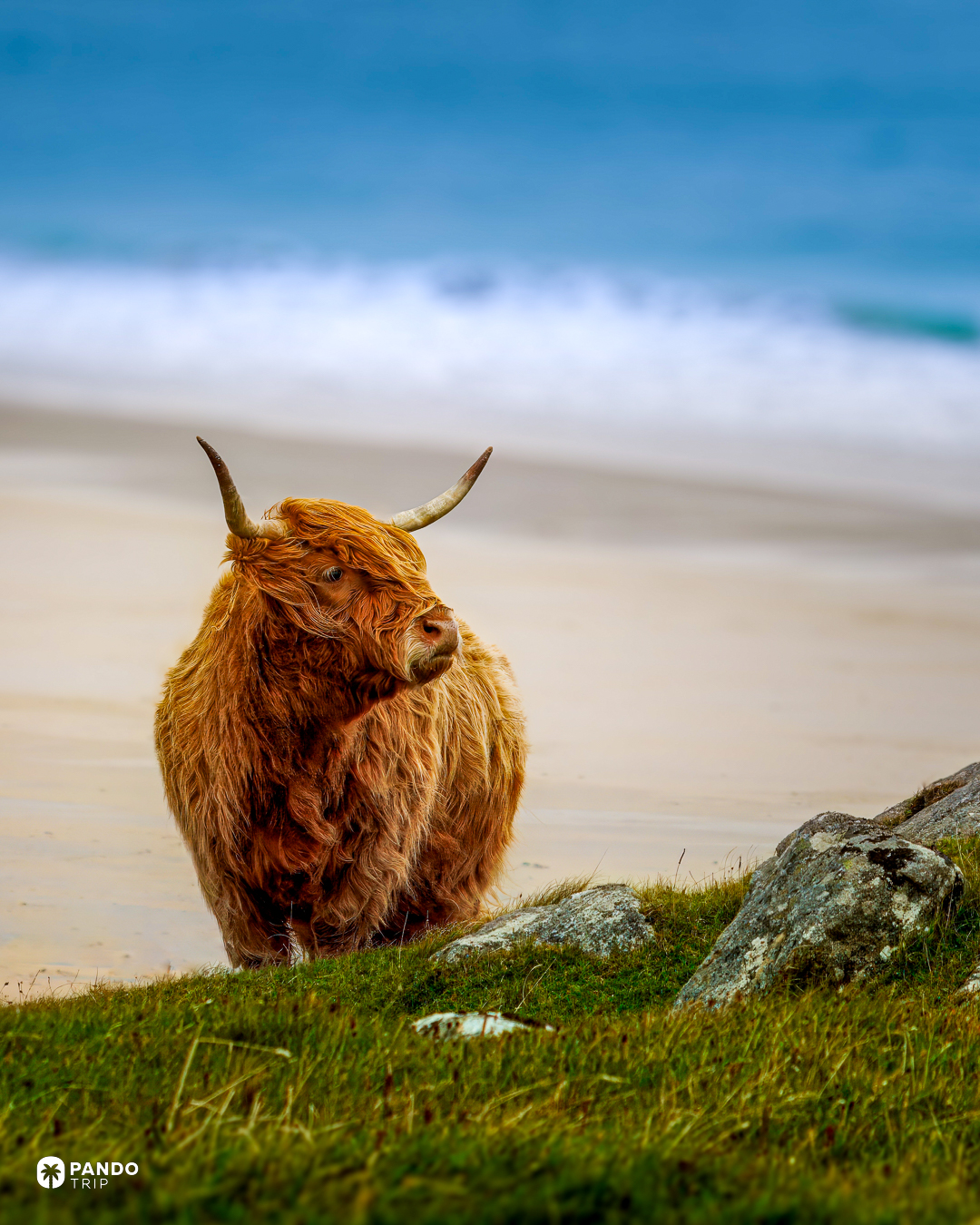
The water at Luskentyre does the Caribbean impression well enough that people accuse the photographs of lying, and the explanation is underfoot. The sand here is crushed shell rather than coral, ground fine and mixed with quartz, and it throws the same pale bed under shallow water at 57.9°N, in front of hills of gneiss three thousand million years old. Winter storms blow that shell sand inland, where its lime sweetens the acid peat and grows machair — a flowered grassland found here, on the west coast of Ireland, and nowhere else on earth. The August sea is under fourteen degrees, so the impression ends at the waterline.
Newfoundland
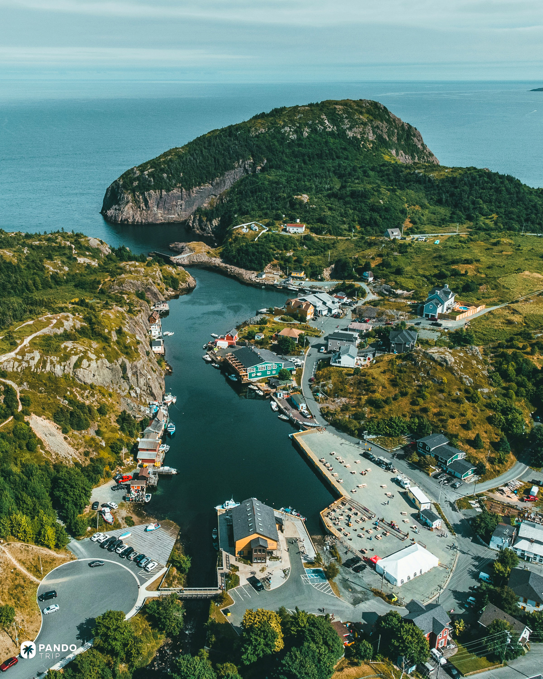
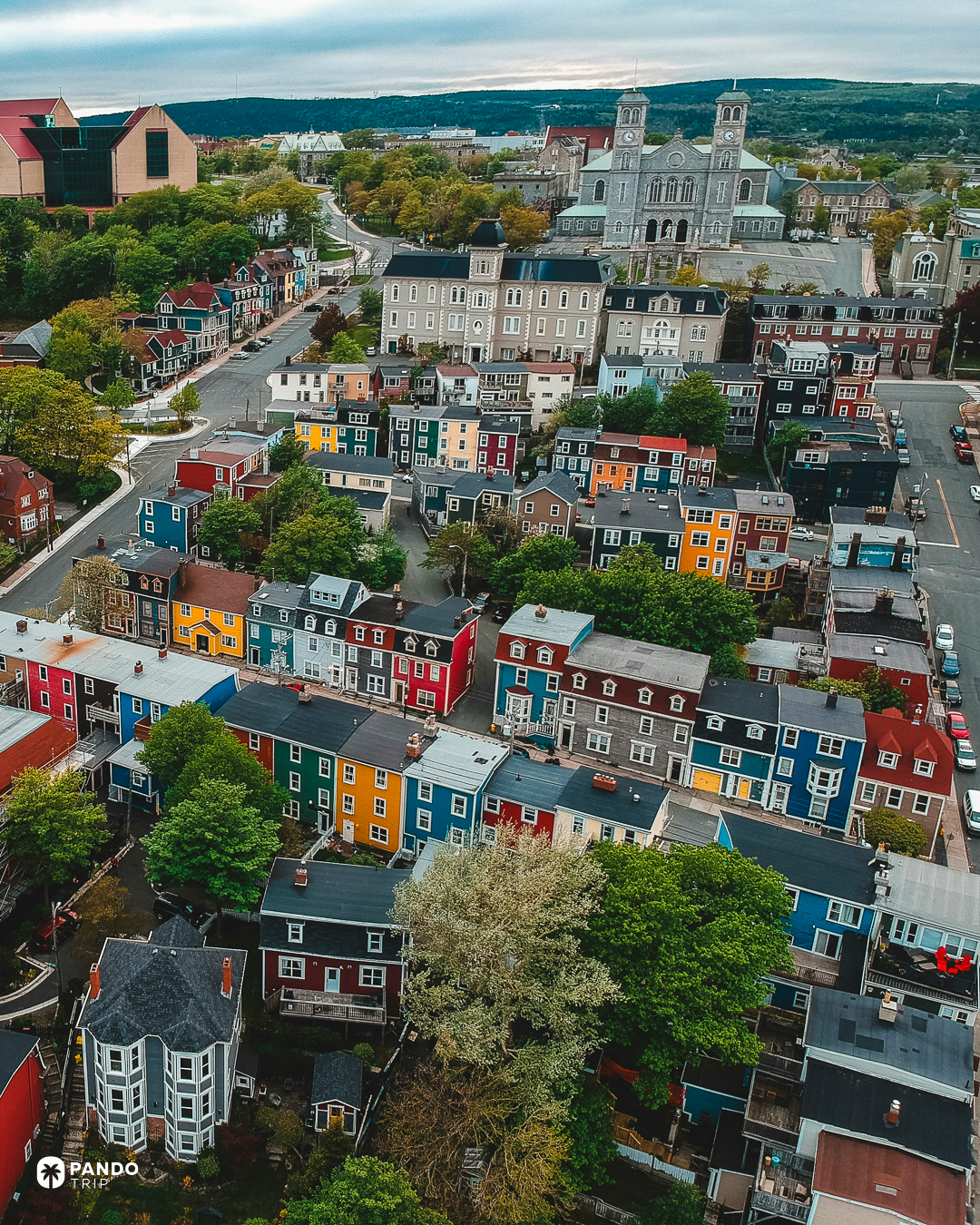
The clocks here are half an hour out from everywhere else, a constitutional leftover: Newfoundland was its own dominion when the world’s time zones were settled, and it kept the half hour when it joined Canada in 1949. The Labrador Current supplies the rest of the strangeness — Arctic water pushing south past an island on the latitude of Brittany, delivering Greenland’s icebergs to the headlands in May and 124 days of fog a year to St John’s, more than any other major Canadian city.
The Azores
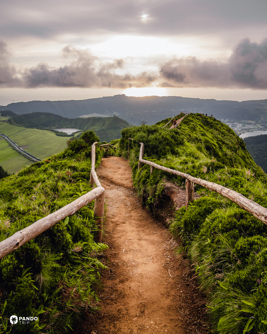
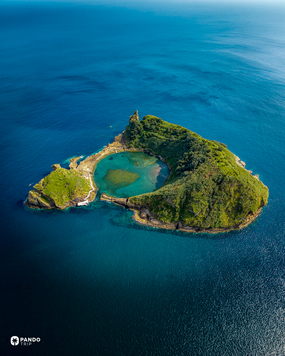
Two of these nine islands are, geologically, in North America. Flores and Corvo lie west of the Mid-Atlantic Ridge, on the North American plate, drifting away from the other seven at a couple of centimetres a year. The archipelago as a whole straddles the junction where three plates meet: that is how a chain of craters ends up 1,400 kilometres out from mainland Portugal. On São Miguel the seam comes close enough to the surface to cook with — at Furnas, pots go into holes dug in the ground beside the lake in the morning and come out six hours later. We have looked at this archipelago from orbit; September is the month to be on it, when the sea holds around 23°C and the summer traffic has gone.
Madeira
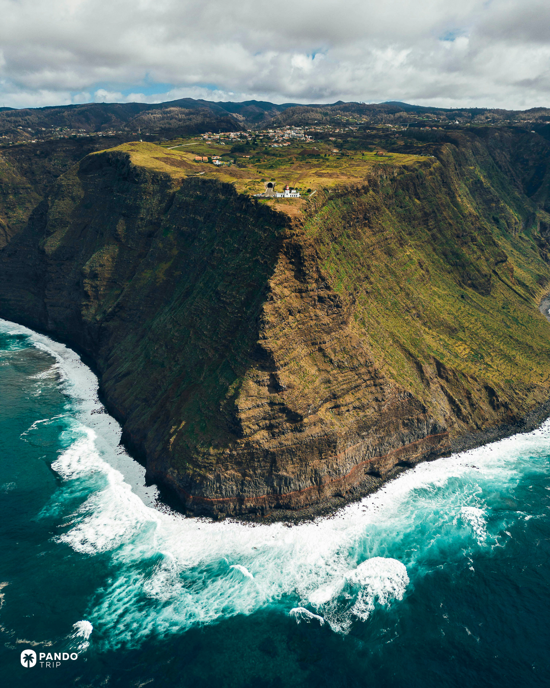
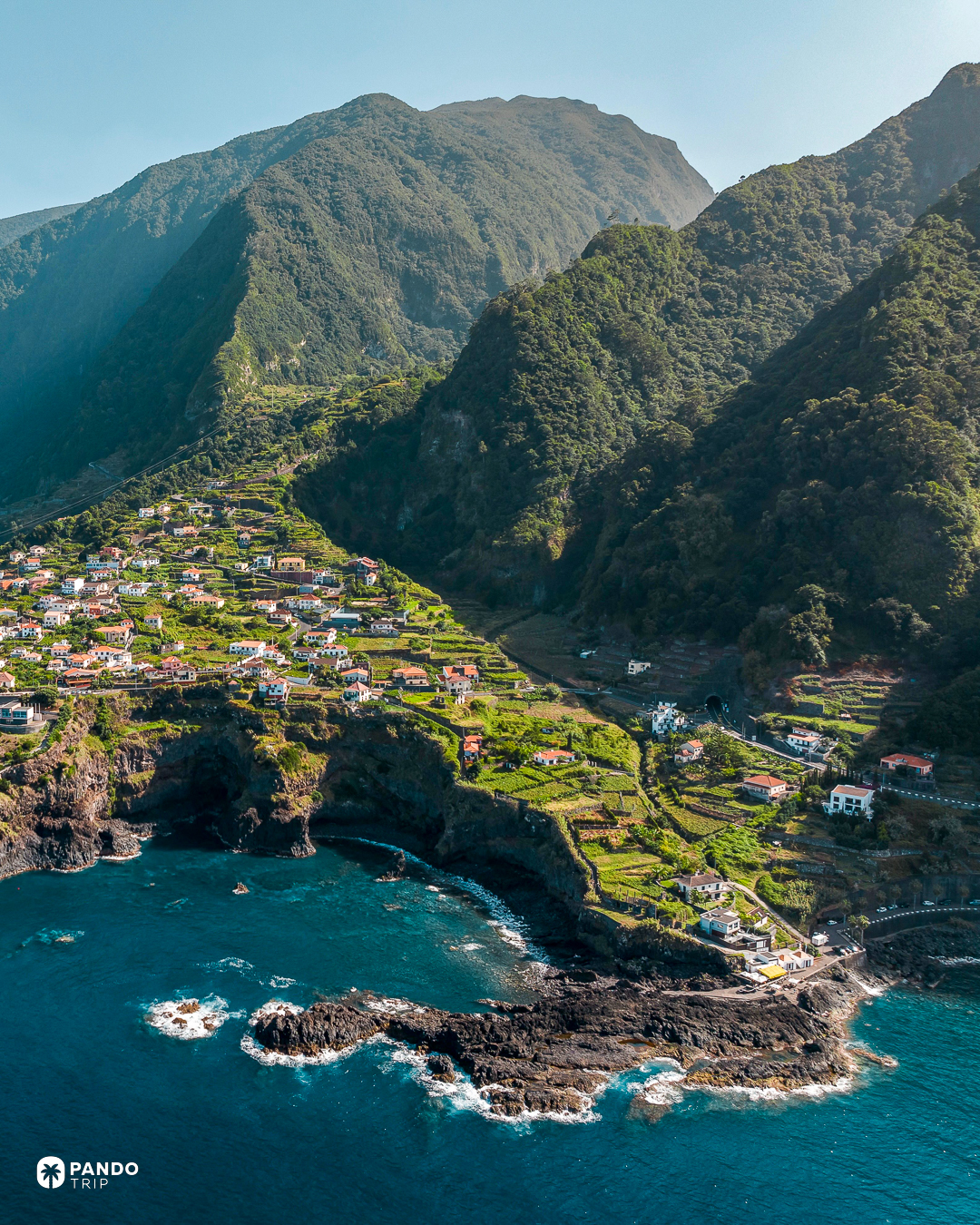
There is a glass floor set into the lip of Cabo Girão, and standing on it puts 580 metres of cliff between your shoes and the sea. The bottom of it is farmed. The fajãs are shelves of ground at the cliff foot, still reached by cable car. Half a dozen European cliffs beat it — Norway’s Hornelen at 860 metres, and Cape Enniberg, up in the Faroes four entries above, at around 750 — so the highest-in-Europe claim attached to this one everywhere is simply wrong. Five hundred and eighty metres of nothing under a pane of glass does fine without it.
Bermuda
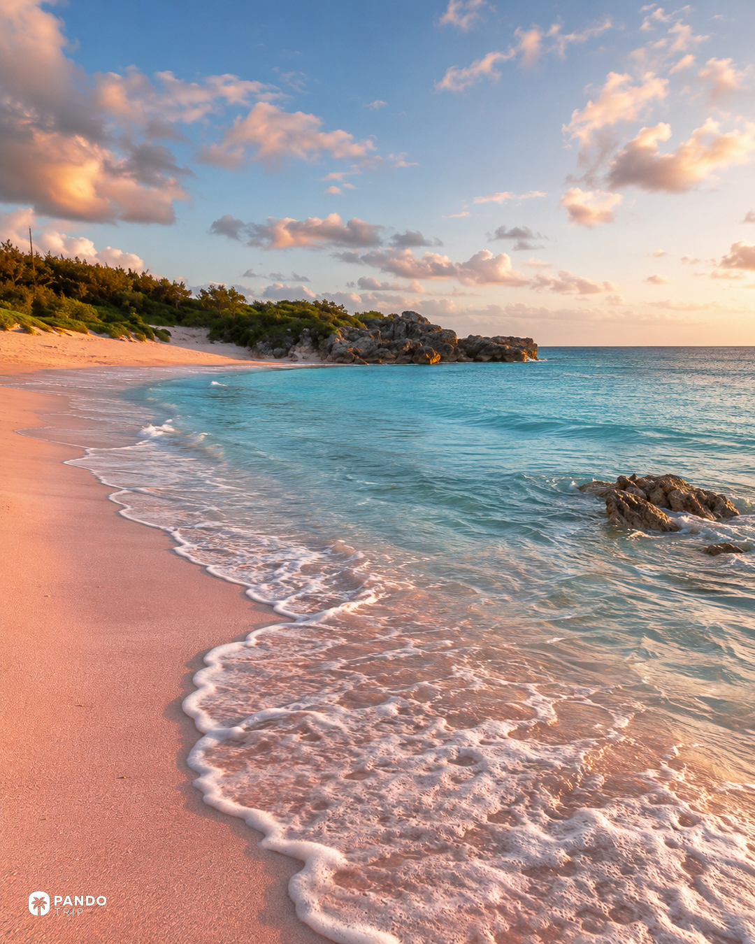
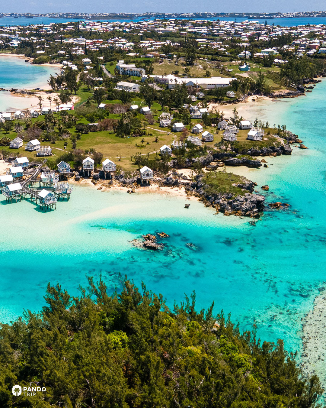
The pink is an animal. Homotrema rubrum is a single-celled creature that builds a hard red skeleton and grows in colonies on the undersides of coral ledges; when it dies, the surf grinds those skeletons up and washes them ashore, where they tint an otherwise white carbonate beach the colour of the inside of a shell. The Bahamas manage it too, at Harbour Island, several hundred miles south. On Bermuda it reads most clearly at Horseshoe Bay and Warwick Long Bay, in low sun and from close up. Getting to either is its own surprise: visitors cannot rent a car on this island at all — only a two-seat electric buggy or a scooter — and the fallback is the pink-and-blue buses out of Hamilton.
Lanzarote
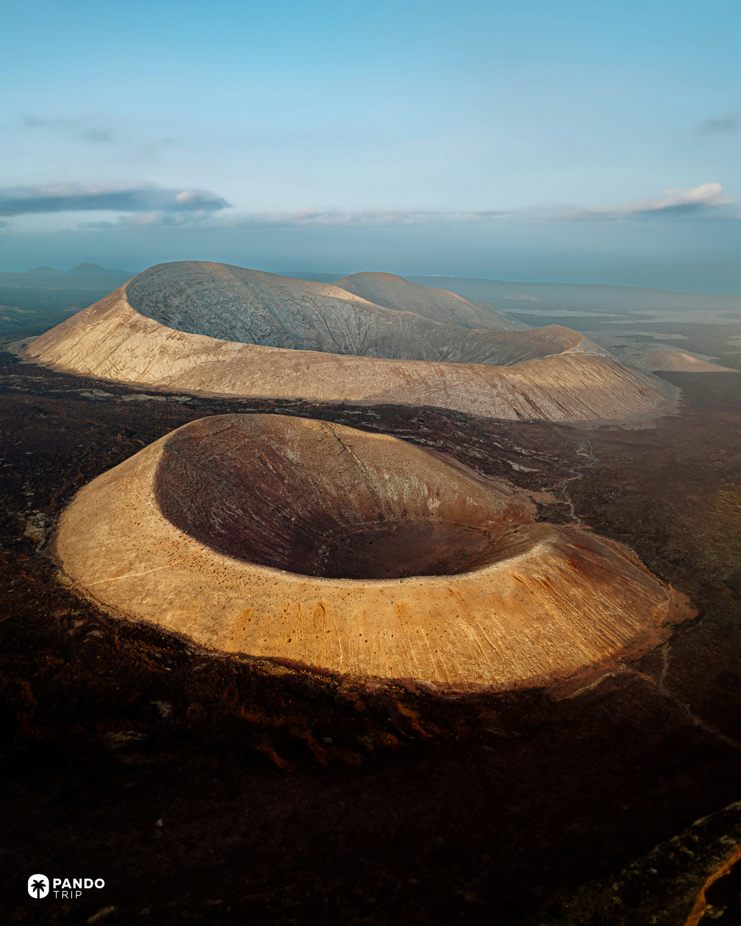
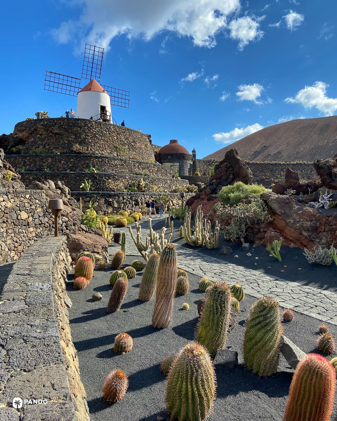
In July 1970 the island wrote down what it was allowed to look like. Streets under six metres wide got one storey; over eight metres, four at the outside. Walls white or sepia. No Arabic roof tiles, no slate, no apartment blocks — eighteen pages of it, approved as a stopgap while the first island plan was drafted, and legible now in every village of whitewashed walls and painted woodwork. Arrecife was left out because it already had a plan of its own. So the one building that breaks the island’s skyline stands in the capital: the 54-metre Arrecife Gran Hotel, once used by fishermen as a mark for coming home. Take a room high up: from that height you can see what the rules built.
Great Exuma
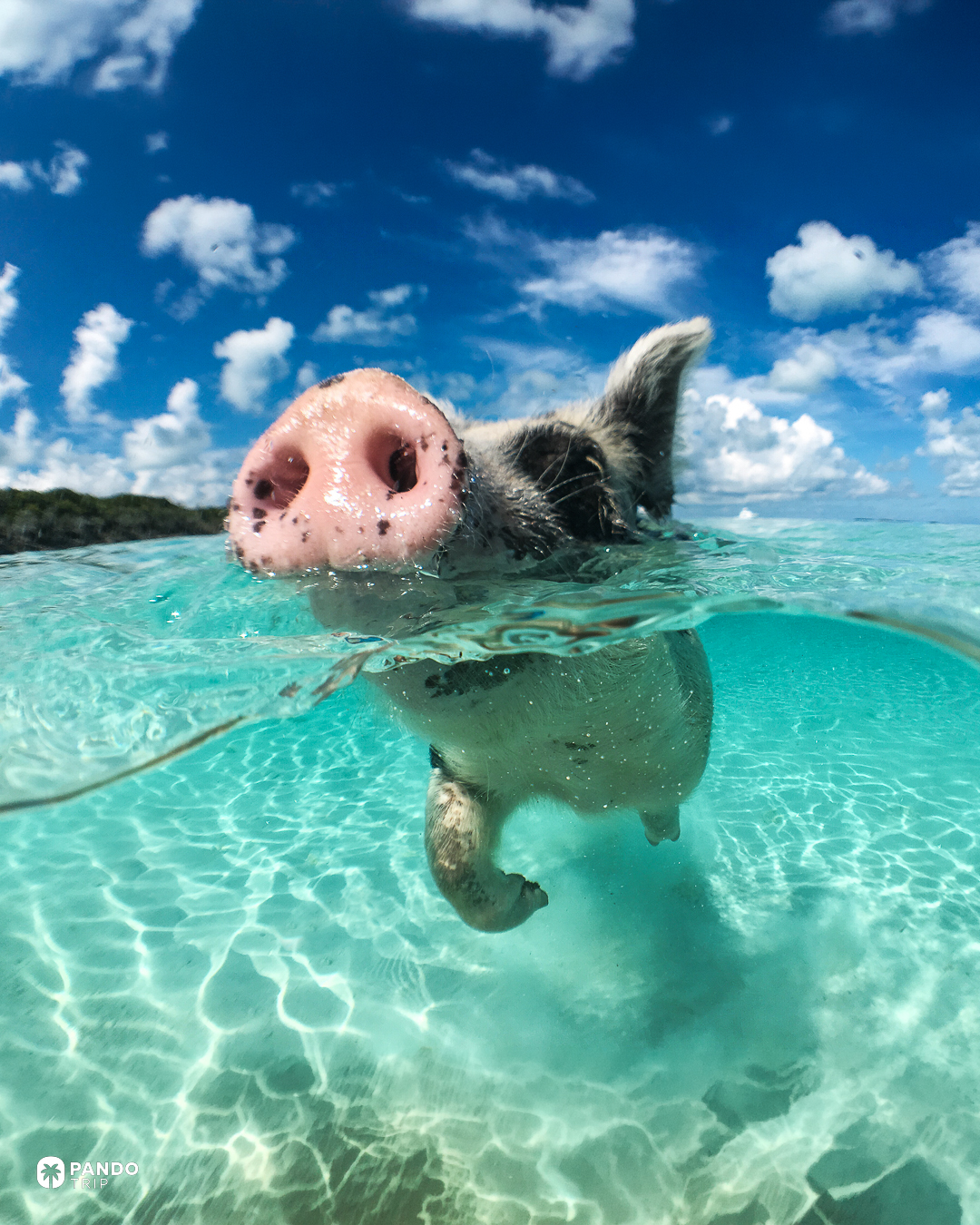
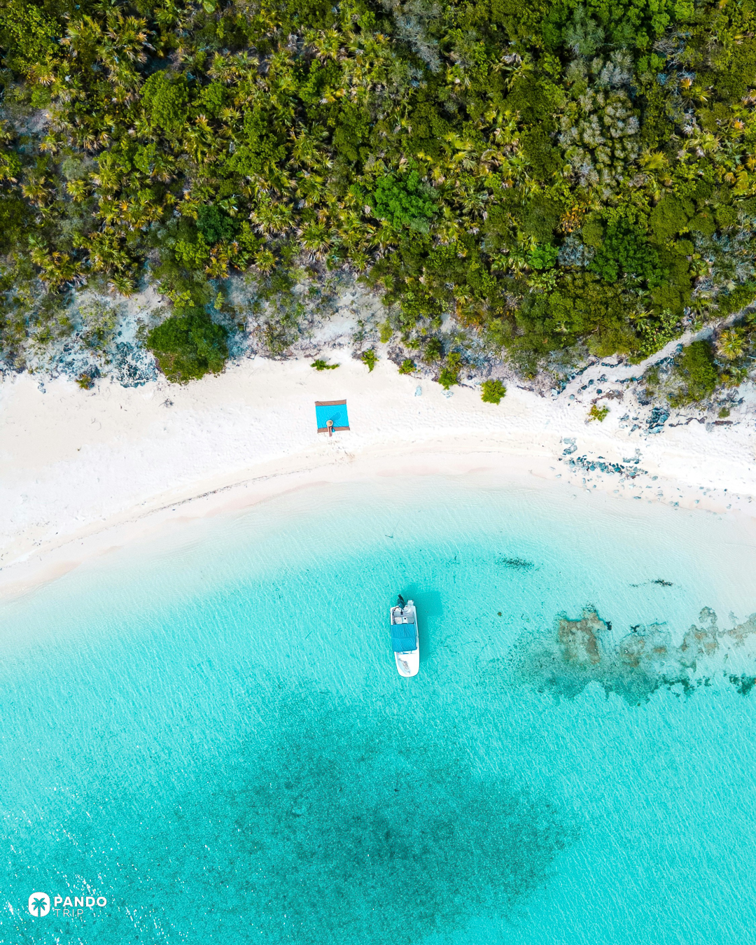
Skip the pigs. The swimming pigs of Big Major Cay are the country’s signature excursion, and the tourism board still publishes the legend — sailors, a shipwreck — although a Bahamian called Wayde Nixon has said for years that he put five pigs on the uninhabited cay around 2000, bought at a hundred dollars each, as insurance against Y2K. In February 2017 more than half a dozen of them died, and the agriculture minister, citing his chief veterinary officer, blamed sand swallowed along with food thrown onto the beach: “we cannot control people giving them beers and wine…” Go for what the Exumas are actually made of instead. George Town lies just north of the Tropic of Cancer on the largest modern carbonate platform on earth, and at low water the banks come up out of the turquoise as sandbars of ooids — pale grains two or three millimetres across, kept round by tides that never stop rolling them. Alongside, the water drops to two kilometres.
Santo Antão
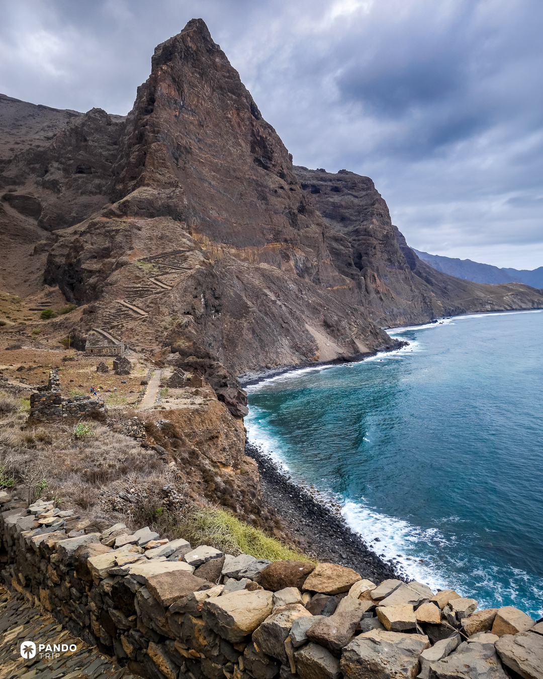
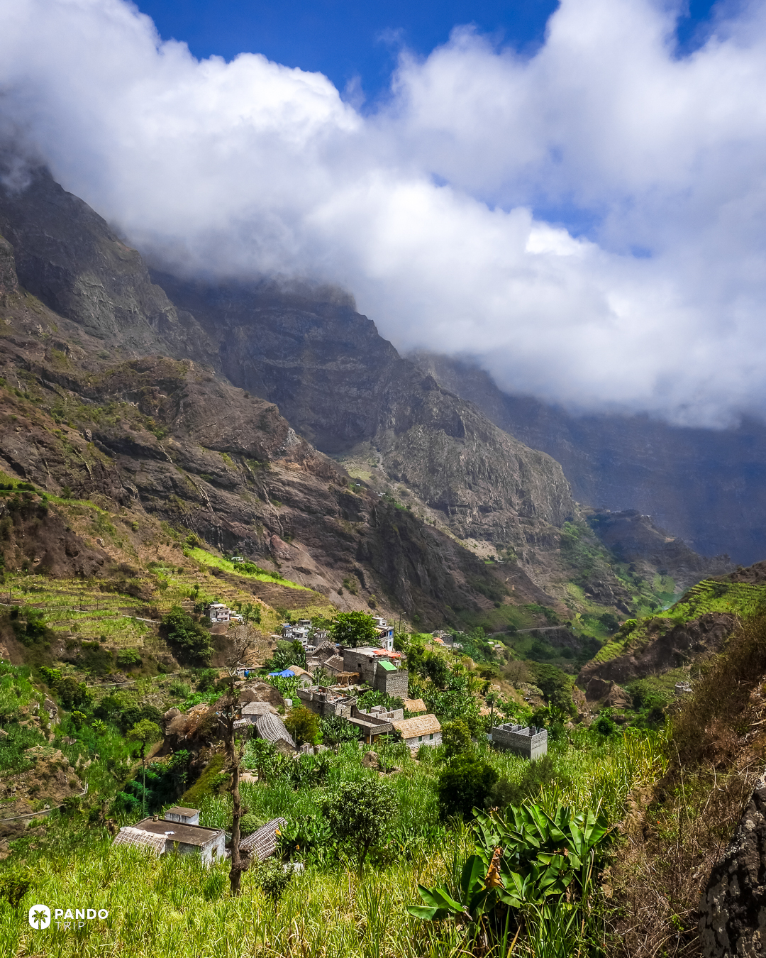
The mill takes its payment in grogue. On this island the man who mills the cane keeps a fifth of whatever comes out of the copper: a currency older than the escudo and still in daily use. Ninety-nine of Cape Verde’s 388 cane-spirit stills stand in the single municipality of Ribeira Grande, most of them down in the ravines. The ravines are the reason anything grows at all: Paúl and Chã de Igreja are cut deep enough to hold water on an archipelago where Mindelo, one island across the channel, gets 85 millimetres of rain a year. There is no airport. Getting here means a flight to São Vicente and an hour’s boat, and then the road decides your day: the new coastal asphalt is fast, the old cobbled road over the spine costs two more hours and is the one worth taking.
Barbados
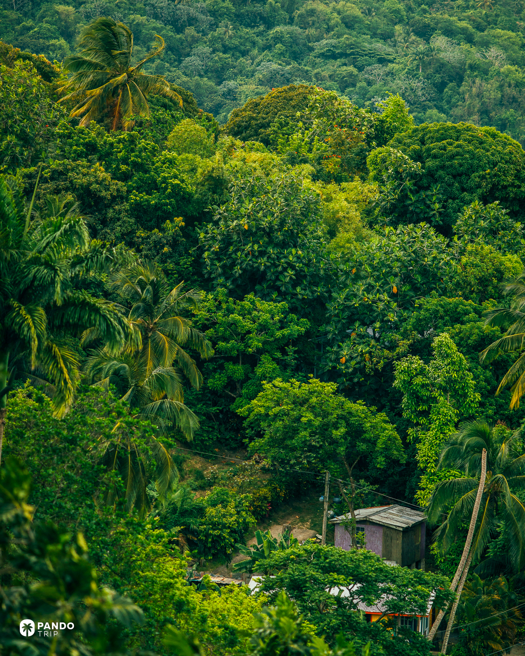
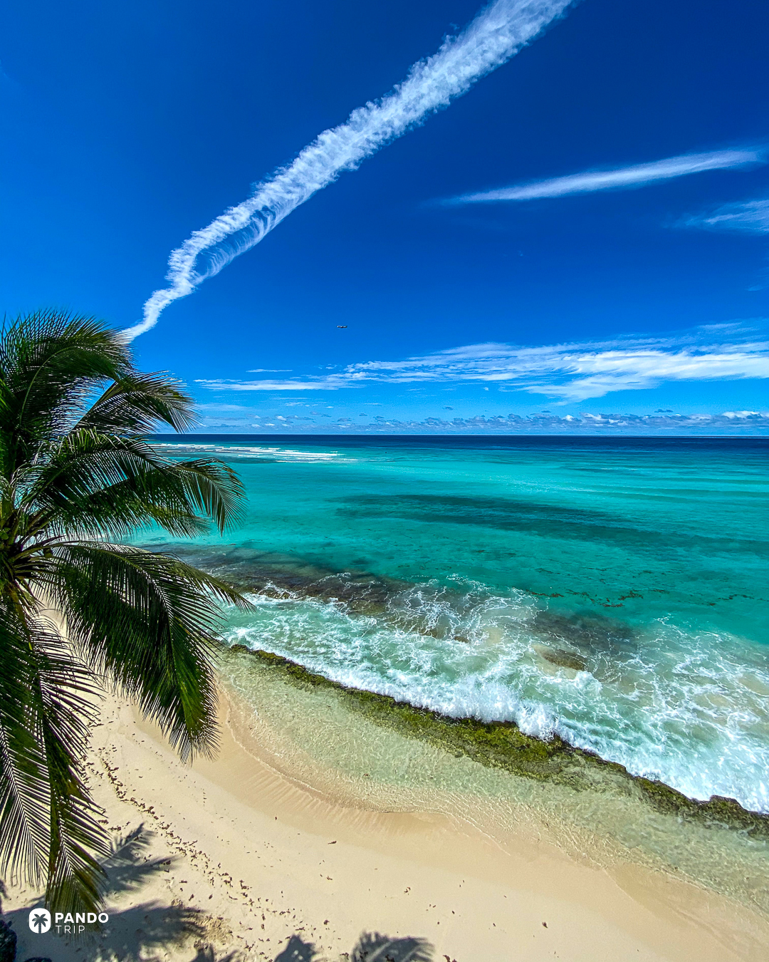
The west coast is the one on the brochures: flat, turquoise, sheltered. The east coast has the best part of five thousand kilometres of open Atlantic arriving on it, and it is a different island. At Bathsheba the sea has undercut the limestone into mushroom-shaped boulders standing out of white foam, and offshore the Soup Bowl breaks over a rock shelf in about two metres of water — a wave the surf press has long reported Kelly Slater rating among his top three, and shallow enough that the reef beneath it is carpeted in the black urchins locals call cobbos. The rock pools are safe at low to mid tide and not above it. The sargassum belt hit a record in 2025 and came close again in 2026, and the east and south coasts get it first, March to September.
Fernando de Noronha
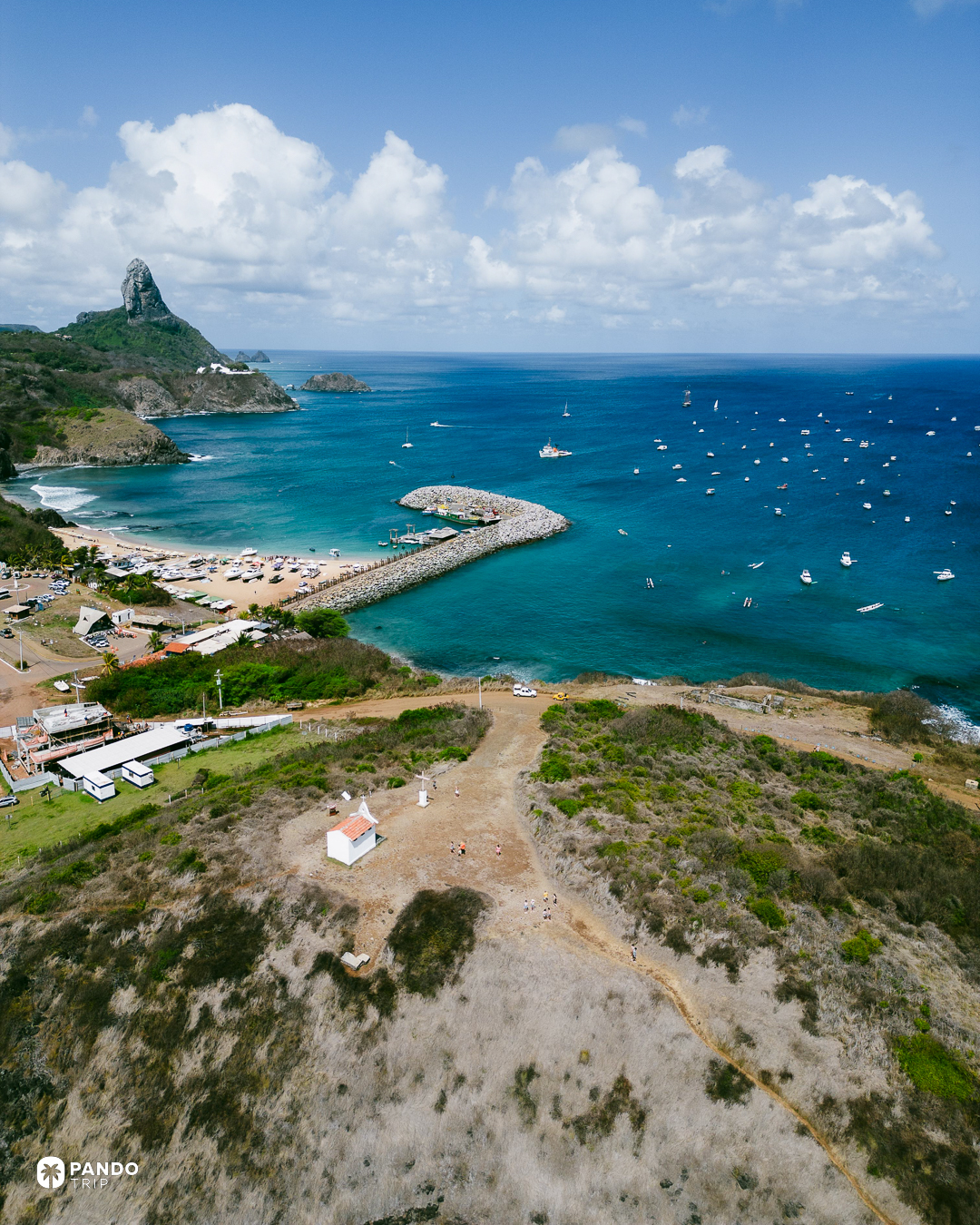
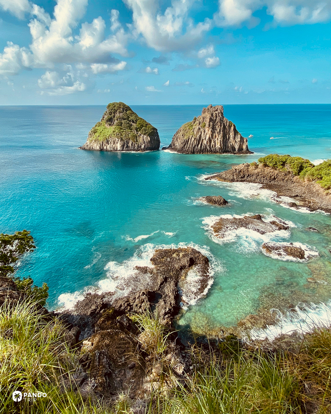
Every day spent here is billed, and the rate climbs the longer you stay. The environmental tax is about R$106 a day, deliberately progressive: a week comes to roughly R$673, a month to a little over R$7,400. A national park ticket comes on top: R$192 for Brazilians, R$384 for everyone else, valid ten days. There is a reason for the arithmetic. The archipelago is capped by law at 11,000 visitors a month and 132,000 a year, and in 2025 it took 139,901 and broke the monthly ceiling in eight months out of twelve. What all of it protects is reached down two iron ladders bolted inside a crack in the cliff: the only walking route into Baía do Sancho, which Tripadvisor’s users voted the best beach in the world six times, most recently in 2023.
Best for
The ice. Greenland between June and August, and pay for the position: Hotel Arctic stands on the lip of the Ilulissat icefjord — the difference between visiting the ice and waking up to it. Newfoundland in May and June is the cheaper version of the same trip, with the bergs arriving already travelled; the Alt Hotel in St John’s puts you a short walk below Signal Hill, where the fog comes in behind them.
Swimming. Bermuda from July to October, when the sea holds between 25.5 and 27.5°C. That window also overlaps hurricane season, and that is the trade. Rosewood Bermuda has its own beach, four pools and a golf club, and no bus ride to reach it. In January the answer is Casa Cavoquinho, up a valley on Santo Antão where the cane is crushed and the water is still warm enough to swim in without thinking about it.
A week, and nothing to organise. Madeira, from Reid’s Palace, a clifftop above Funchal, ten acres of subtropical garden dropping away below it, and its own way down to the sea. The thing to drink on the terrace is the island’s own wine, cooked on purpose in heated stores because it used to be cooked by accident in ships’ holds.
Water you have no intention of entering. Harris. The ferry in is from Uig, on Skye. Scarista House is a few steps off the sand and does one set menu a night with no choices on it, and feeds non-residents as well.
In August 2026 the state of Pernambuco asked Brazil’s aviation regulator to cut the number of flights into Fernando de Noronha, so that arrivals stop breaking the ceiling the law sets for them. The regulator has not ruled. If Noronha is on your list, take the easy version of that trip before the ruling lands — and the other twelve will still be there afterwards, at whatever temperature their latitude happens to give them.