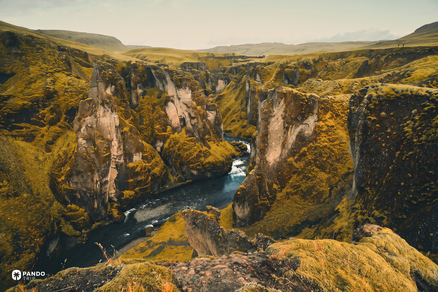
He filmed here in 2015. The rangers blamed the mud — and that is what tells you when to go.
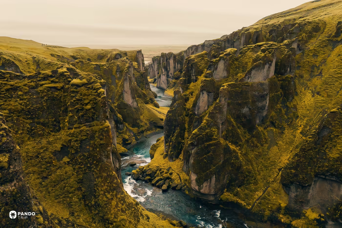
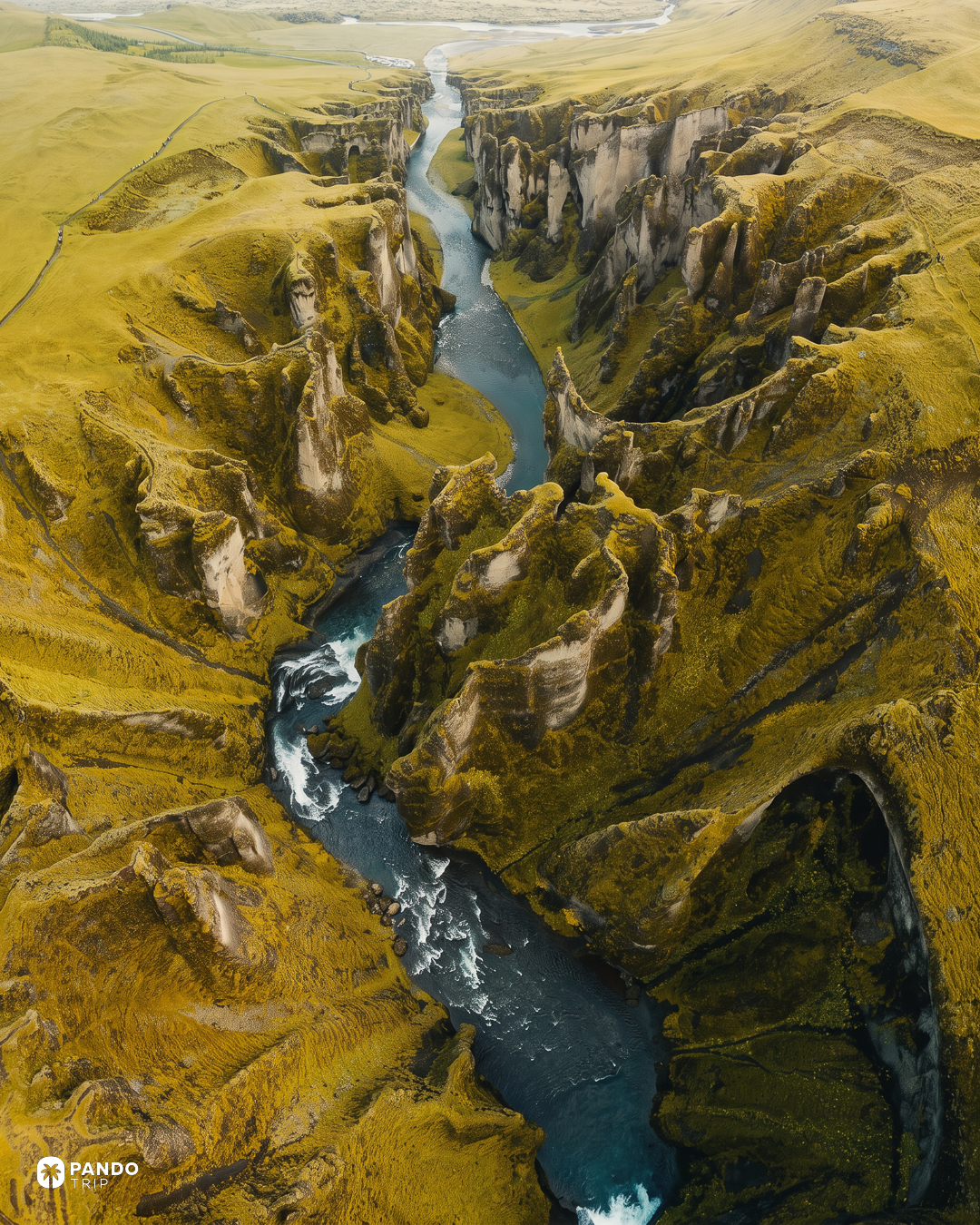
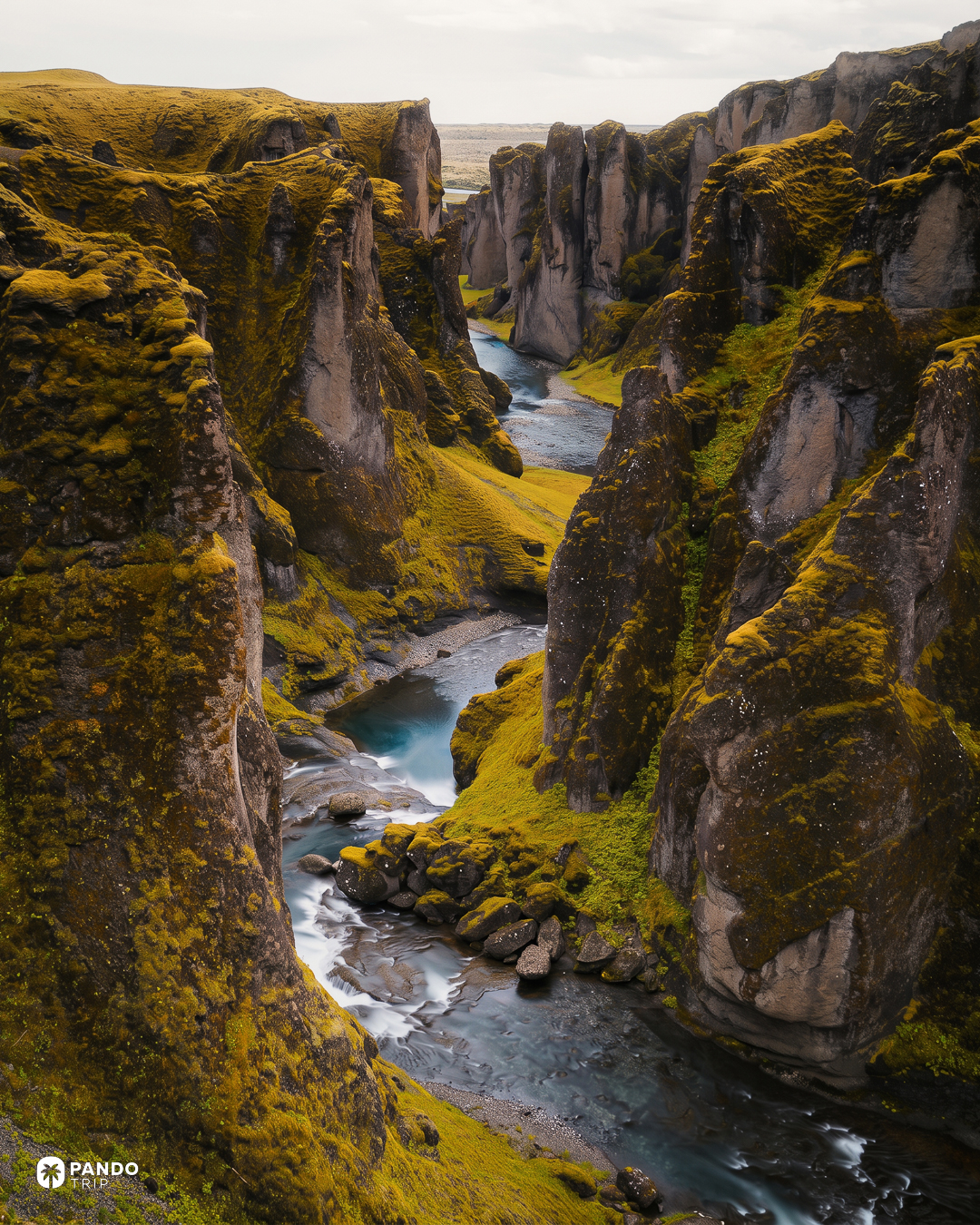
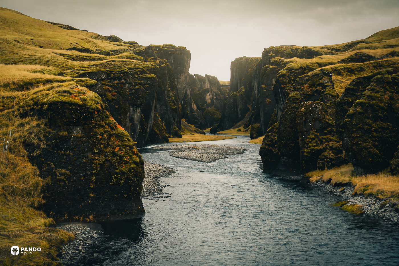
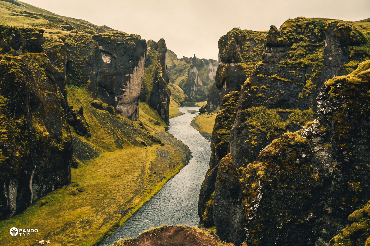
Nothing on the drive prepares you. You turn off Iceland’s Ring Road a few kilometres west of Kirkjubæjarklaustur onto a gravel track, and for several minutes there is only heath: grey-green, low, wind-flattened, running away toward the ice. No gorge. No hint of one. You park before you see it. Then the ground opens, and below your boots a clear river is working through walls so green with moss they look upholstered, bending left, then right, then left again, like something drawn rather than eroded.
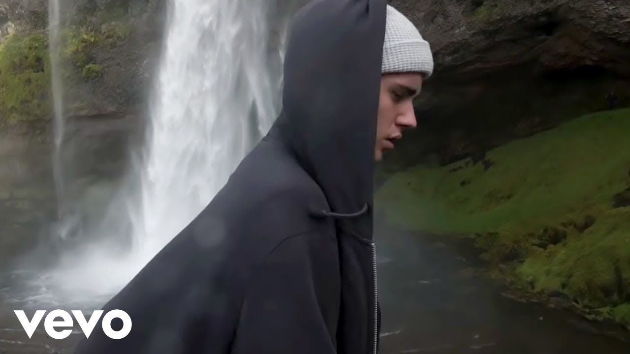
In September 2015, a film crew arrived at that edge with Justin Bieber. The video they made there — “I’ll Show You” — shows him doing more or less everything the site now has rope fences to prevent: strolling the unmarked rim, sliding down wet moss, standing where nobody is meant to stand.
What happened next is the reason this canyon has a management plan, an app-based parking fee, and a corporate owner. In 2016, 155,000 people came. In 2017, 282,000 did. Cars at the site went from roughly 160 a day in 2015 to about 435 a day by 2018. Then, in March 2018, the Environment Agency of Iceland closed the trail — and closed it again in 2019, and again in 2023.
Then the world’s press found a culprit
It wrote itself. Smithsonian went with Justin Bieber Ruined This Idyllic Icelandic Canyon. CNN filed the closure under overtourism with his name in the URL. The Environment Agency did not help matters by publishing a before-and-after of the same rock outcrop — a still from the video beside a January 2018 photograph of the same spot with a closure sign staked into it — and calling what had happened hreinar gróðurskemmdir sökum ágangs á viðkvæmu svæði: pure vegetation damage from pressure on a sensitive area.
The rangers, though, were describing something less cinematic. Hanna Valdís Jóhannsdóttir, working the site, put it in weather, not in fame: “We’ve had rain and freezing temperatures every other day. When the earth is frozen, the water lays upon the soil and it becomes very sensitive, turning to mud.” That is the whole mechanism. Frozen ground will not drink. The marked path turns to soup. People step around the soup — politely, apologetically, one pair of boots at a time — onto moss that takes decades to grow back, and the moss dies in a season.
Look at the closure dates and the argument is settled by the calendar. March 2018, extended by nine weeks. January 2019, for a fortnight. Late February 2019, reopened on 1 June. April 2023, for two weeks. Every documented closure since 2018 has fallen between January and early June, the frost-and-thaw half of the year, and not one has fallen in the crowded heart of summer. The Icelandic rangers’ association added the part nobody abroad reported: for those exact months, there was no ranger stationed at the canyon at all, from 1 January until summer began.
And in Bieber’s defence, which is not a sentence written often: when he filmed, there were no rope fences and no designated path. There was nothing there to disobey.
The gorge is what’s left of a lake
Fjaðrárgljúfur runs about 1.5 kilometres and drops to roughly 100 metres at its deepest. The two-kilometre figure you will find almost everywhere else, including on some official pages, is not the one Iceland’s own protection paperwork uses. It is not, by canyon standards, large.
The rock is móberg — palagonite, welded ash and glass from eruptions that happened underneath a glacier, somewhere near two million years old. The canyon cut into it is about nine thousand.
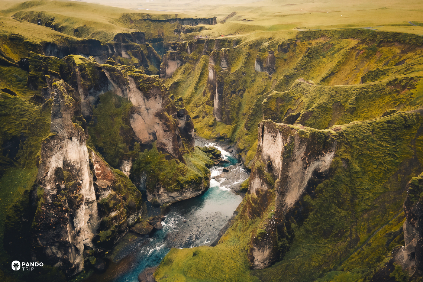
What made the shape is better than either number. When the last glacier withdrew, a lake filled the valley behind a shelf of harder rock. Glacial rivers filled it with sediment, fast. Eventually the outflow sawed through the shelf, found soft móberg underneath, and dropped — then cut back down through the sediment it had itself laid in the valley. Gravel terraces on both sides of the valley above the gorge still mark the old lake’s water line.
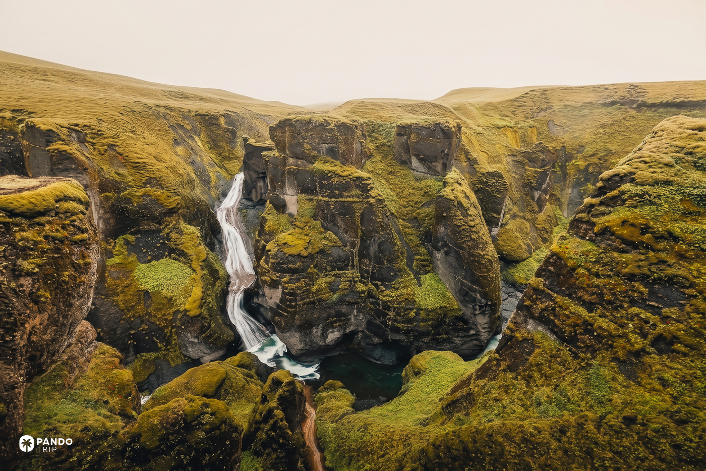
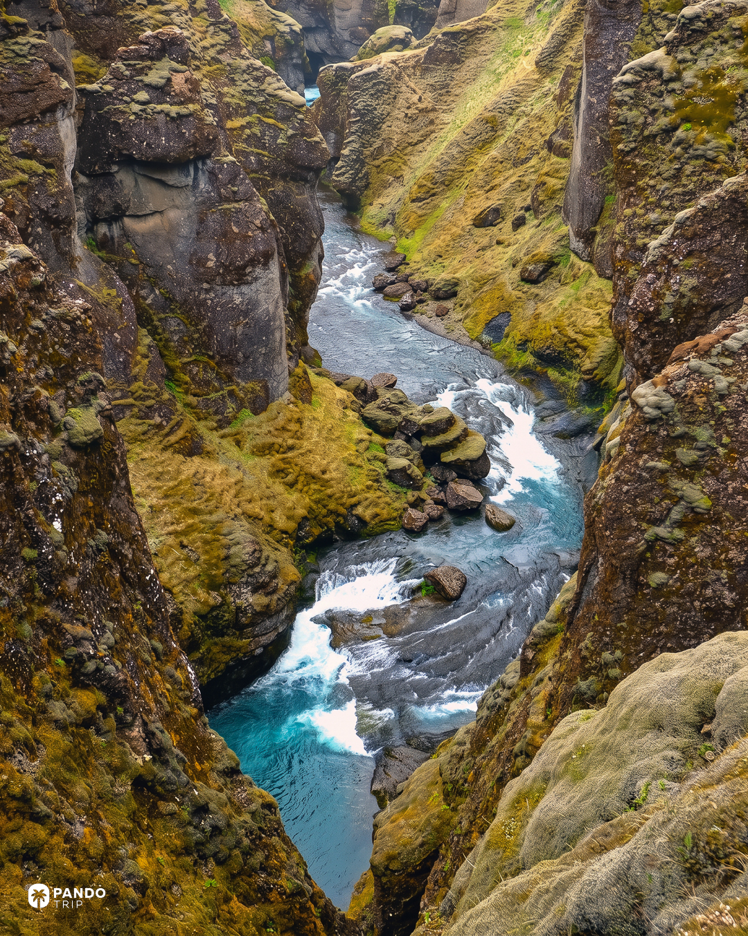
The river doing the work now is the Fjaðrá, and it runs clear, which is unusual company on this stretch of the south coast, where most water arrives the colour of wet cement. At the head of the gorge a side stream, the Mögá, drops in as Mögáfoss, in view from the upper platform. It is a fraction of the flow that cut this. It is still cutting.
You can walk the whole of it and be back at the car inside ninety minutes. Plan it as a stop on a driving day, not as the day.
Nobody can translate the name
In 1909 someone proposed that the river was originally Fjarðará — fjord river — implying the sea once reached this far inland. In 1948 someone else pointed out that there is no fjord anywhere near it, and argued for the plainer Fjaðurá, without being able to say what that meant either. The prettiest reading, fjaðrir, feathers, comes later still, and the Icelandic commentary that offers it flatly labels it getgáta: guesswork.
The state had first refusal, and passed
The land under all of this is a farm called Heiði, and in June 2022 a private company bought it for 280 million krónur. Iceland’s environment ministry held the right of first refusal and declined to use it, on the reasoning that the site needed protection but not state ownership to get it. It attached conditions instead: the state keeps first refusal on any future sale, and every króna of parking revenue must go back into the site.
In May 2024 part of the canyon was formally protected as a náttúruvætti, a natural monument — a compact 0.15 square kilometres. Five months later the land was sold again, this time to Arctic Adventures, one of Iceland’s largest activity operators, which took over on 1 January 2025 and has since floated a plan for a hotel at the canyon. Treat that as a plan; there is no confirmation anything has been built.
What it means at the barrier today is 1,000 krónur for a standard car, paid through the Parka app, valid until midnight, enforced by camera. The trail itself is free. That fee is the one the ministry bound by contract to the ground it is collected on, which makes it a rarer thing than it looks — the same money that gets charged at the gate is legally obliged to end up under the path. If you have ever paid to get onto a beach with a plantation gate in front of it, you will know how seldom anyone can promise that.
The grey day is the good day
Here is the thing nobody hopes for and everybody should. A dark slot in flat overcast holds its moss green and keeps detail in the water; the same slot under hard sun blows out to black shadow and white river. Come on the bright morning you were praying for and you will fight the dynamic range all the way along the rim.
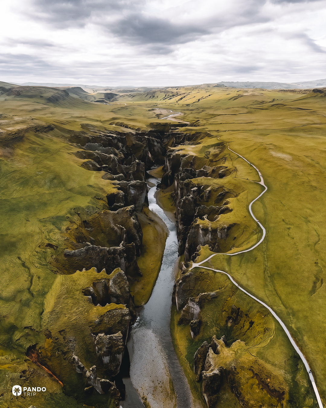
The geometry decides the rest. The canyon runs north to south with the path along its eastern rim, so morning is when light reaches down inside it; by mid-afternoon the river is in shade. Photographers who work the gorge say the same thing — the light that gets down there is morning light — though June gives you twenty-one hours of daylight here and December about four, so the clock is a poor guide.
Crowds work the middle. The canyon sits a few kilometres off Route 1 between Vík and Skaftafell, squarely inside the south-coast coach corridor, and roughly 300,000 people a year on the most recent count filter onto three kilometres of path. Before nine or after five, long stretches of it should be yours — the same trick that works on the Alps’ busiest lakes.
Summer is the safe visit, autumn the underrated one, and January to early June the window to skip: that is when the site closes, and even open it is mud and ice on an exposed edge. One rule survives all seasons. Walking up the canyon in or along the river is prohibited, on breeding grounds — the Katla UNESCO Global Geopark states it plainly, and Skaftárhreppur’s own municipal visitor page still cheerfully suggests wading sections of the riverbed. The municipal page is out of date. Stay on the rim.
Getting there, and the road that isn’t the F-road
Turn off Route 1 just west of Kirkjubæjarklaustur onto road 206. It is gravel, generally well kept, and fine for a two-wheel-drive car in summer. F206 is a different road: it branches off, needs 4WD, and climbs into the highlands toward the Laki crater row. You do not need an F-road to reach this canyon, whatever the signage on some operator pages implies. In winter, check Vegagerðin’s road-conditions map before committing, and Safetravel for closures.
Reykjavík is about three and a half hours away, Vík about fifty minutes. There are two car parks: the lower one at the canyon mouth, and an upper one that puts the head-of-canyon viewpoint within a short, nearly level walk for anyone not up for the climb. There are toilets. There is no café, no shop and no food of any kind on site, whatever is planned.
One village, and the bed worth taking in it
Kirkjubæjarklaustur is a village of a few hundred people, and it is the entire infrastructure of this stretch of coast. It has exactly one grocery shop, Gvendarkjör, run by the same family as the café, plus the grill and shelves at the Skaftárskáli filling station. If you are self-catering along the south coast, stock up here — the next supermarket is seventy kilometres away in Vík.
Hotel Klaustur is the comfortable end of town and has the area’s only genuinely composed kitchen; chef Einar Björn Halldórsson puts his sourcing at roughly 80 percent local. Hunkubakkar is the closest bed to the canyon turn-off, a working farm with chalets and farmhouse rooms, but it opens 1 May and closes 31 October, so check the dates first. For dinner without a hotel attached, Systrakaffi on Klausturvegur does Arctic char and homemade cake, opens daily from midday to nine, and does not take bookings.
The one to book, though, is Magma Hotel: detached cabins set by the lake, floor-to-ceiling glass, the Vatnajökull ice cap on the horizon. The rooms are the smaller half of the argument. The larger half is that this canyon rewards whoever is standing on its rim before nine, and that is a far easier promise to keep from a cabin outside Kirkjubæjarklaustur than from a hotel fifty minutes down the coast in Vík.